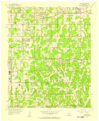
1956 Map of Choctaw
USGS Topo · Published 1957About this map
Tinker Air Force Base dominates the western edge of this mid-century landscape, marking the significant military and aviation presence in eastern Oklahoma County. The survey captures the corridor along the Chicago Rock Island and Pacific railroad, where the communities of Nicoma Park and Choctaw grew around the tracks. Evidence of the region's petroleum and agricultural transition is visible through various Oil Wells, a Gas Well, and a Sandpit scattered across the township lines of Crutcho, Boone, and Cass. Local history is deeply rooted in the rural school districts, with sites like Star Sch, Soldier Creek Sch, and the noted Barnes Sch (Abandoned). The topography is defined by the drainage of Choctaw Creek and Hog Creek, with several family-named burial grounds including Mishak Cem, Worley Cem, and Schwartz Cem serving as vital touchstones for genealogical research in this part of the state.
Find a feature on this map
38 named features on this map. Tap any name to fly to it.
Don’t see what you’re looking for? This feature index may not catch every label — zoom into the map to look around manually.
Map Details
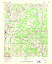
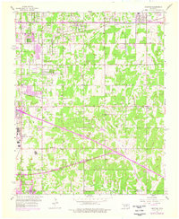
Editions of this 1956 Choctaw Map
3 editions found
Other maps of this area

1892 · Moore
USGS Topo · 1:62,500

1892 · Edmond
USGS Topo · 1:62,500

1898 · Purcell
USGS Topo · 1:125,000

1909 · Luther
USGS Topo · 1:62,500

1930 · McLoud
USGS Topo · 1:62,500

1934 · Crutcho Creek
USGS Topo · 1:24,000

1934 · Moore
USGS Topo · 1:62,500

1935 · Spencer
USGS Topo · 1:24,000

1935 · Edmond
USGS Topo · 1:48,000

1938 · Moore
USGS Topo · 1:62,500