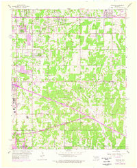
1956 Map of Choctaw
USGS Topo · Published 1976About this map
Choctaw and Nicoma Park anchor this mid-century portrait of central Oklahoma, illustrating the expansion of the Oklahoma City metropolitan area alongside major transportation and military infrastructure. The sprawling footprint of Tinker Air Force Base dominates the western edge, adjacent to a network of local schools including Star Sch and Telstar Sch that served the growing suburban populations. The landscape is deeply carved by the Chicago Rock Island and Pacific and Atchison Topeka and Santa Fe railroads, which parallel established local thoroughfares like SE 15th Street and SE 29th Street.
Find a feature on this map
40 named features on this map. Tap any name to fly to it.
Don’t see what you’re looking for? This feature index may not catch every label — zoom into the map to look around manually.
Map Details
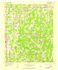
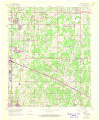
Editions of this 1956 Choctaw Map
3 editions found
Other maps of this area

1892 · Moore
USGS Topo · 1:62,500

1892 · Edmond
USGS Topo · 1:62,500

1898 · Purcell
USGS Topo · 1:125,000

1909 · Luther
USGS Topo · 1:62,500

1930 · McLoud
USGS Topo · 1:62,500

1934 · Crutcho Creek
USGS Topo · 1:24,000

1934 · Moore
USGS Topo · 1:62,500

1935 · Spencer
USGS Topo · 1:24,000

1935 · Edmond
USGS Topo · 1:48,000

1938 · Moore
USGS Topo · 1:62,500