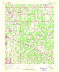
1956 Map of Choctaw
USGS Topo · Published 1970About this map
Tinker Air Force Base occupies a significant portion of this landscape, reflecting the military expansion into Oklahoma during the mid-20th century. The map illustrates a transitional suburban and industrial environment where established residential areas like Nicoma Park and Choctaw meet the growing infrastructure of the region. Transportation networks are prominent, featuring the Chicago Rock Island and Pacific and the Atchison Topeka and Santa Fe railroads, alongside a distinctive Drag Strip and a Drive-in Theater.
Find a feature on this map
46 named features on this map. Tap any name to fly to it.
Don’t see what you’re looking for? This feature index may not catch every label — zoom into the map to look around manually.
Map Details
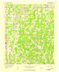
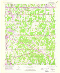
Editions of this 1956 Choctaw Map
3 editions found
Other maps of this area

1892 · Moore
USGS Topo · 1:62,500

1892 · Edmond
USGS Topo · 1:62,500

1898 · Purcell
USGS Topo · 1:125,000

1909 · Luther
USGS Topo · 1:62,500

1930 · McLoud
USGS Topo · 1:62,500

1934 · Crutcho Creek
USGS Topo · 1:24,000

1934 · Moore
USGS Topo · 1:62,500

1935 · Spencer
USGS Topo · 1:24,000

1935 · Edmond
USGS Topo · 1:48,000

1938 · Moore
USGS Topo · 1:62,500