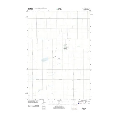
2010 Map of Chokio
USGS Topo · Published 2010About this map
Chokio serves as the central hub of this agricultural landscape in Stevens County, where the grid of rural roads and drainage infrastructure defines the township. The town is anchored by the Chokio Post Office and two nearby burial grounds, Saint Marys Cemetery and Chokio Cemetery, which offer valuable points of reference for local family history. The terrain is marked by hydrological features that reflect the region's glacial history and modern water management, including the Clark Lakebed and Gravel Lake. Drainage is facilitated by the winding course of Muddy Creek and the West Fork Twelvemile Creek, alongside engineered features like County Ditch Number Fifteen. This survey captures the town just as it appeared in the early 21st century, illustrating the enduring relationship between the small prairie settlement and the surrounding farmland.
Find a feature on this map
20 named features on this map. Tap any name to fly to it.
Don’t see what you’re looking for? This feature index may not catch every label — zoom into the map to look around manually.
Map Details
Editions of this 2010 Chokio Map
This is the sole edition of this map. No revisions or reprints were ever made.
Other maps of this area

1910 · Chokio
USGS Topo · 1:62,500

1912 · Chokio
USGS Topo · 1:62,500

1950 · Graceville
USGS Topo · 1:62,500

1953 · Ortonville
USGS Topo · 1:62,500

1953 · Milbank
USGS Topo · 1:250,000

1958 · Milbank
USGS Topo · 1:250,000

1968 · Dry Wood Lake
USGS Topo · 1:24,000

1968 · Artichoke Lake NW
USGS Topo · 1:24,000

1971 · Dismal Swamp
USGS Topo · 1:24,000
1973 · Alberta
USGS Topo · 1:24,000