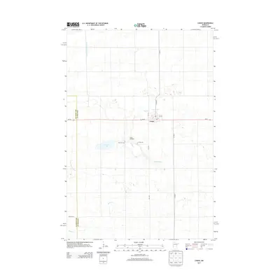
2013 Map of Chokio
USGS Topo · Published 2013About this map
The prairie landscape of western Minnesota is defined by a complex network of glacial remnants and managed water systems in this 2013 survey. The settlement of Chokio serves as the local hub, situated at the intersection of MN-28 and Co HWY-13. Genealogy researchers will find the locations of Saint Marys Cem and Chokio Cem clearly marked just south of the town center. The terrain is characterized by numerous depressions and wetlands typical of the region, including the large Clark Lakebed and the neighboring Gravel Lake. Drainage throughout the area is facilitated by features such as County Ditch Number Fifteen, Muddy Cr, and W Fork Twelvemile Cr, illustrating how the agricultural environment is maintained. To the southeast, Jipson Slough further highlights the low-lying, water-rich character of the Stevens County and Big Stone County borderlands.
Find a feature on this map
16 named features on this map. Tap any name to fly to it.
Don’t see what you’re looking for? This feature index may not catch every label — zoom into the map to look around manually.
Map Details
Editions of this 2013 Chokio Map
This is the sole edition of this map. No revisions or reprints were ever made.
Other maps of this area
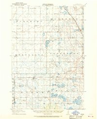
1910 · Chokio
USGS Topo · 1:62,500
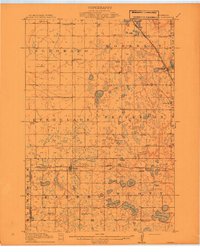
1912 · Chokio
USGS Topo · 1:62,500
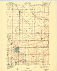
1950 · Graceville
USGS Topo · 1:62,500
1953 · Ortonville
USGS Topo · 1:62,500
1953 · Milbank
USGS Topo · 1:250,000
1958 · Milbank
USGS Topo · 1:250,000
1968 · Dry Wood Lake
USGS Topo · 1:24,000
1968 · Artichoke Lake NW
USGS Topo · 1:24,000
1971 · Dismal Swamp
USGS Topo · 1:24,000
1973 · Alberta
USGS Topo · 1:24,000