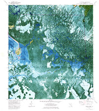
1974 Map of Chokoloskee
USGS Topo · Published 1984About this map
Chokoloskee sits as a vital island settlement within the expanse of the Ten Thousand Islands in this orthophotomap, which blends aerial photography with traditional topographic data. The unique geography of the Florida Gulf Coast is on display, showing the intricate tidal patterns of Chokoloskee Bay and the vast mangrove systems of Everglades National Park. Development is concentrated on the high ground of Chokoloskee Island and nearby Plantation Island, while the surrounding landscape is a complex network of water bodies like Huston Bay and Sunday Bay.
Find a feature on this map
29 named features on this map. Tap any name to fly to it.
Don’t see what you’re looking for? This feature index may not catch every label — zoom into the map to look around manually.
Map Details
Editions of this 1974 Chokoloskee Map
3 editions found
Other maps of this area

1956 · Miami
USGS Topo · 1:250,000

1958 · Miami
USGS Topo · 1:250,000

1972 · Weavers Station
USGS Topo · 1:24,000

1972 · Burns Lake
USGS Topo · 1:24,000

1972 · Ochopee
USGS Topo · 1:24,000

1973 · Gator Hook Swamp
USGS Topo · 1:24,000

1973 · Pavilion Key
USGS Topo · 1:24,000

1973 · Alligator Bay
USGS Topo · 1:24,000
1974 · Everglades City
USGS Topo · 1:24,000
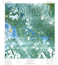
1974 · Chokoloskee
USGS Topo · 1:24,000