1970 Map of Chouteau
USGS Topo · Published 1982About this map
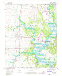
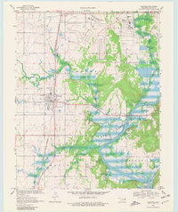
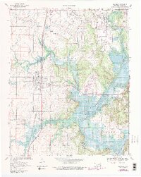
Chouteau stands at the center of this Oklahoma landscape, where the Missouri-Kansas-Texas Railroad bisects the prairie north of Fort Gibson Lake. The map reveals a transition from the agricultural plains surrounding the small settlement of Lusta to the expanding Industrial District and Mid-America sites in the north. This 1970s era documentation highlights the integration of infrastructure like the Aqueduct and Pipeline alongside established community markers such as Alberty Cem and Sixkiller Cem.
Find a feature on this map
36 named features on this map. Tap any name to fly to it.
Don’t see what you’re looking for? This feature index may not catch every label — zoom into the map to look around manually.
Map Details
Editions of this 1970 Chouteau Map
4 editions found
Other maps of this area

1896 · Pryor
USGS Topo · 1:125,000

1901 · Pryor
USGS Topo · 1:125,000

1954 · Tulsa
USGS Topo · 1:250,000

1958 · Tulsa
USGS Topo · 1:250,000

1963 · Tulsa
USGS Topo · 1:250,000
1963 · Neodesha
USGS Topo · 1:24,000
1970 · Osage Hills
USGS Topo · 1:24,000
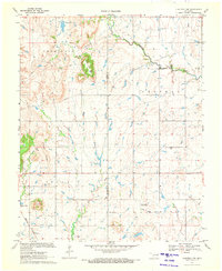
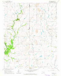
1970 · Chouteau NW
USGS Topo · 1:24,000
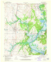
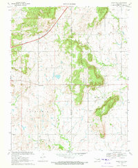
1970 · Chouteau
USGS Topo · 1:24,000
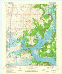
1970 · Rocky Point
USGS Topo · 1:24,000