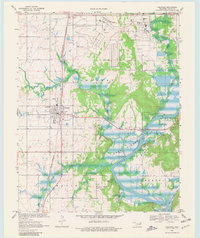
1970 Map of Chouteau
USGS Topo · Published 1981About this map
The Missouri-Kansas-Texas railroad corridor anchors this 1970 landscape, tracing a path south through Chouteau toward the waters of the Neosho River. The topography reveals a region defined by its water and industry, where the sprawling Midamerica Industrial District sits north of the river's winding path into Fort Gibson Lake. The map details the infrastructure of growth, from the Pryor Municipal Airport and a network of pipelines and aqueducts to the developed recreational areas like Mazie Landing and Mission Bend Public Use Area. Local genealogy is well-preserved through family-named landmarks and resting places, including the Sixkiller, Alberty, and Chouteau cemeteries. Small settlements like Paradise View and Lusta appear alongside country worship sites such as Brushy Creek Ch, illustrating the shift from rural community life to modern industrial development during the post-war era.
Find a feature on this map
40 named features on this map. Tap any name to fly to it.
Don’t see what you’re looking for? This feature index may not catch every label — zoom into the map to look around manually.
Map Details
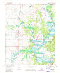
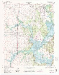
Editions of this 1970 Chouteau Map
4 editions found
Other maps of this area

1896 · Pryor
USGS Topo · 1:125,000

1901 · Pryor
USGS Topo · 1:125,000

1954 · Tulsa
USGS Topo · 1:250,000

1958 · Tulsa
USGS Topo · 1:250,000

1963 · Tulsa
USGS Topo · 1:250,000
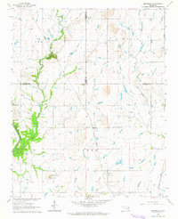
1963 · Neodesha
USGS Topo · 1:24,000
1970 · Osage Hills
USGS Topo · 1:24,000
1970 · Chouteau NW
USGS Topo · 1:24,000
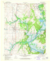
1970 · Chouteau
USGS Topo · 1:24,000
1970 · Rocky Point
USGS Topo · 1:24,000