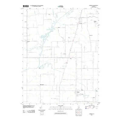
2010 Map of Chrisney
USGS Topo · Published 2010About this map
Chrisney and Gentryville anchor this 2010 topographic record of Spencer County, Indiana, where the rural landscape is defined by the winding course of Little Pigeon Creek and its many tributaries. The area is notable for its high density of family and parish burial grounds, including the Saint Martins Cemetery near the south and Clark Cemetery in the north, providing essential geographic markers for genealogical research. The drainage patterns of the region are heavily modified by a network of agricultural channels such as Hutchinson Ditch and Wires Ditch, which redirect water through the low-lying terrain.
Find a feature on this map
51 named features on this map. Tap any name to fly to it.
Don’t see what you’re looking for? This feature index may not catch every label — zoom into the map to look around manually.
Map Details
Editions of this 2010 Chrisney Map
This is the sole edition of this map. No revisions or reprints were ever made.
Other maps of this area

1900 · St Meinrad
USGS Topo · 1:62,500

1900 · De Gonia Springs
USGS Topo · 1:62,500

1901 · Owensboro
USGS Topo · 1:62,500

1902 · Ditney
USGS Topo · 1:125,000

1902 · Degonia Springs
USGS Topo · 1:62,500

1903 · St. Meinrad
USGS Topo · 1:62,500

1903 · Tell City
USGS Topo · 1:62,500

1952 · Rockport
USGS Topo · 1:24,000

1953 · Lewisport
USGS Topo · 1:24,000

1954 · Evansville
USGS Topo · 1:250,000