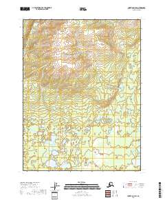
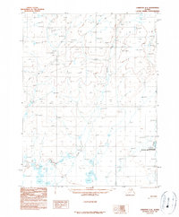
2018 Map of Christian A-4 SW
USGS Topo · Published 2018About this map
Marten Cr defines the drainage pattern of this landscape in the northern Alaskan interior. This 2018 survey emphasizes the immense scale of the public land system, delineating the boundaries of several townships including t27n r8e and t26n r9e. The map illustrates a complex network of wetlands and small ponds scattered across the low-lying southern sections, contrasting with the rising elevations of the interior hills to the north. While the area lacks established roads or settlements, the topography reveals the natural corridors formed by watercourses like Marten Cr as they cut through the Yukon-Koyukuk region. Researchers can trace the precise contours and survey lines that divide these vast tracts of subarctic wilderness.
Find a feature on this map
7 named features on this map. Tap any name to fly to it.
Don’t see what you’re looking for? This feature index may not catch every label — zoom into the map to look around manually.
Map Details
Editions of this 2018 Christian A-4 SW Map
This is the sole edition of this map. No revisions or reprints were ever made.
Other maps of this area

1951 · Fort Yukon
USGS Topo · 1:250,000

1951 · Christian
USGS Topo · 1:250,000

1955 · Fort Yukon D-4
USGS Topo · 1:63,360

1955 · Fort Yukon D-5
USGS Topo · 1:63,360

1956 · Christian
USGS Topo · 1:250,000

1956 · Fort Yukon
USGS Topo · 1:250,000
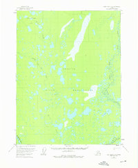
1956 · Fort Yukon D-4
USGS Topo · 1:63,360
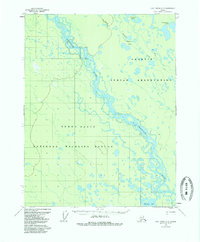
1956 · Fort Yukon D-5
USGS Topo · 1:63,360
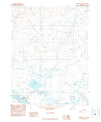
1990 · Christian A-5
USGS Topo · 1:63,360
1990 · Christian A-4
USGS Topo · 1:63,360