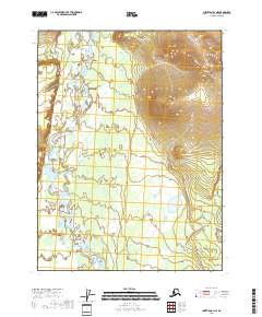
2018 Map of Christian B-1 NE
USGS Topo · Published 2018About this map
The Sheenjek River flows through the heart of this Yukon-Koyukuk landscape, winding across a terrain defined by braided channels and numerous small lakes. This 2018 survey documents a remote interior Alaskan environment where water dominates the geography, notably at the confluence area where Thluichohnjik Cr joins the main river system. The map provides a detailed view of the complex hydrography in the southern portion of the quadrangle, where the river's movement creates a dense network of ponds and wetlands across the flats. While the eastern section of the map rises into significant elevation, the western half remains a lowland corridor that has long served as a vital natural passageway through the eastern Brooks Range foothills. For those tracking the land use and natural boundaries of the region, the map also clearly delineates the survey townships of t31n r16e and t30n r17e.
Find a feature on this map
5 named features on this map. Tap any name to fly to it.
Don’t see what you’re looking for? This feature index may not catch every label — zoom into the map to look around manually.
Map Details
Editions of this 2018 Christian B-1 NE Map
This is the sole edition of this map. No revisions or reprints were ever made.
Other maps of this area

1951 · Coleen
USGS Topo · 1:250,000

1951 · Christian
USGS Topo · 1:250,000

1956 · Coleen
USGS Topo · 1:250,000

1956 · Christian
USGS Topo · 1:250,000
1983 · Coleen C-6
USGS Topo · 1:63,360
1983 · Christian C-1
USGS Topo · 1:63,360
1990 · Christian B-1
USGS Topo · 1:63,360
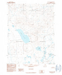
1990 · Coleen B-6
USGS Topo · 1:63,360
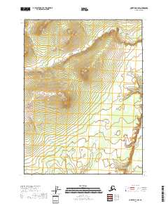
2018 · Christian B-1 NW
USGS Topo · 1:25,000
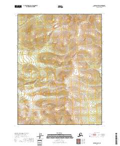
2018 · Coleen C-6 SW
USGS Topo · 1:25,000