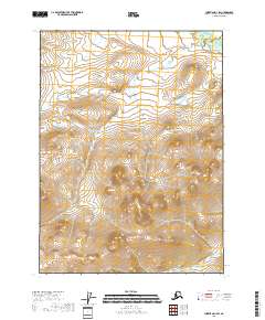
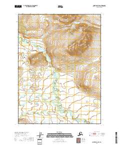
2018 Map of Christian D-1 SW
USGS Topo · Published 2018About this map
Koness River meanders through the northeast corner of this remote Alaskan interior landscape, flowing against a backdrop of complex elevation changes in the northern Yukon-Koyukuk Census Area. This 2018 survey reveals the strictly delineated township and range system typical of the public land surveys in the American north, with boundaries including t35n r14e, t35n r15e, t34n r14e, and t34n r15e. The absence of roads, settlements, or infrastructure reflects the true wilderness character of this region during the early 21st century. Researchers and geographers can interpret the physical geography through high-resolution 20-foot contours, which detail the intricate drainage patterns and ridge lines that define the watershed surrounding the Koness River.
Find a feature on this map
5 named features on this map. Tap any name to fly to it.
Don’t see what you’re looking for? This feature index may not catch every label — zoom into the map to look around manually.
Map Details
Editions of this 2018 Christian D-1 SW Map
This is the sole edition of this map. No revisions or reprints were ever made.
Other maps of this area

1951 · Christian
USGS Topo · 1:250,000

1956 · Christian
USGS Topo · 1:250,000
1972 · Christian D-2
USGS Topo · 1:63,360
1973 · Christian D-1
USGS Topo · 1:63,360
1983 · Christian C-2
USGS Topo · 1:63,360
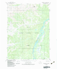
1983 · Christian C-1
USGS Topo · 1:63,360
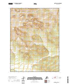
2018 · Christian C-1 NW
USGS Topo · 1:25,000
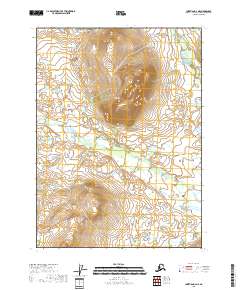
2018 · Christian D-2 NE
USGS Topo · 1:25,000
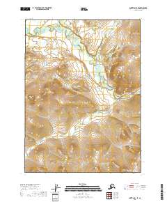
2018 · Christian D-1 SE
USGS Topo · 1:25,000
2018 · Christian D-1 NW
USGS Topo · 1:25,000