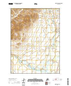
2018 Map of Christian D-5 NE
USGS Topo · Published 2018About this map
The East Fork Chandalar River defines the eastern corridor of this interior Alaskan landscape, winding through the Yukon-Koyukuk Borough as part of a complex hydrologic network. The terrain is shaped by significant elevation changes, with tributaries such as Crow Nest Creek in the north and Smoke Creek in the south draining the upland slopes. This 2018 U.S. Geological Survey representation emphasizes the natural drainage patterns and the remote character of the Brooks Range foothills, where the absence of roads or permanent settlements highlights the wilderness state of the region. The map provides a precise look at the township and range divisions, including t37n r7e and t36n r8e, which serve as the primary framework for land identification in this expansive subarctic environment.
Find a feature on this map
10 named features on this map. Tap any name to fly to it.
Don’t see what you’re looking for? This feature index may not catch every label — zoom into the map to look around manually.
Map Details
Editions of this 2018 Christian D-5 NE Map
This is the sole edition of this map. No revisions or reprints were ever made.
Other maps of this area

1951 · Christian
USGS Topo · 1:250,000

1951 · Arctic
USGS Topo · 1:250,000

1956 · Arctic
USGS Topo · 1:250,000

1956 · Christian
USGS Topo · 1:250,000
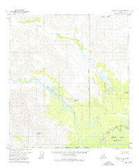
1972 · Arctic A-4
USGS Topo · 1:63,360
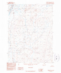
1990 · Christian D-4
USGS Topo · 1:63,360
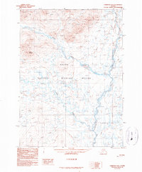
1990 · Christian D-5
USGS Topo · 1:63,360
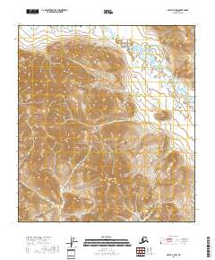
2018 · Arctic A-4 SW
USGS Topo · 1:25,000
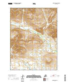
2018 · Christian D-5 NW
USGS Topo · 1:25,000
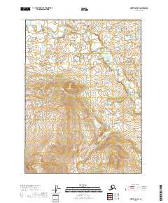
2018 · Christian D-5 SW
USGS Topo · 1:25,000