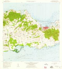
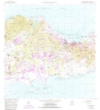
1958 Map of Christiansted
USGS Topo · Published 1959About this map
Saint Croix's northern and central landscapes are depicted here during the late 1950s, a period of transition before major industrial development reshaped the southern coastline. The bustling town of Christiansted anchors the northeastern shore, its harbor protected by Long Reef and dotted with features like Protestant Cay and the Fort Louise Augusta Light. Inland, the map reveals a mosaic of estates and settlements such as Sion Hill, Friedensfeld, and La Reine, many of which were still defined by the footprints of former agricultural operations and extensive ruins.
Find a feature on this map
135 named features on this map. Tap any name to fly to it.
Don’t see what you’re looking for? This feature index may not catch every label — zoom into the map to look around manually.
Map Details
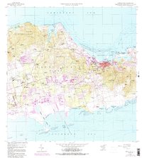
Editions of this 1958 Christiansted Map
6 editions found
Other maps of this area
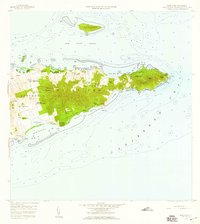
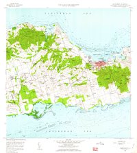
1958 · East Point
USGS Topo · 1:24,000
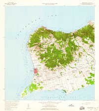
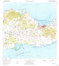
1958 · Frederiksted
USGS Topo · 1:24,000
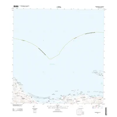
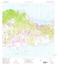
2013 · Beauregard Bay
USGS Topo · 1:20,000
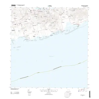
2013 · Christiansted
USGS Topo · 1:20,000
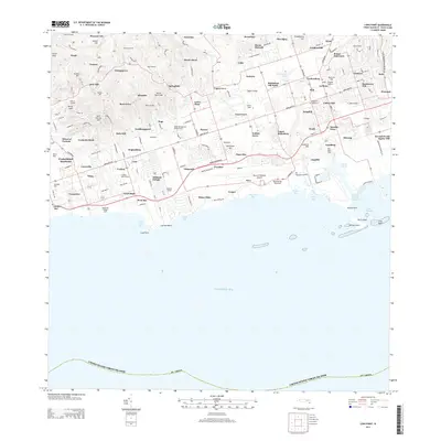
2013 · Long Point
USGS Topo · 1:20,000
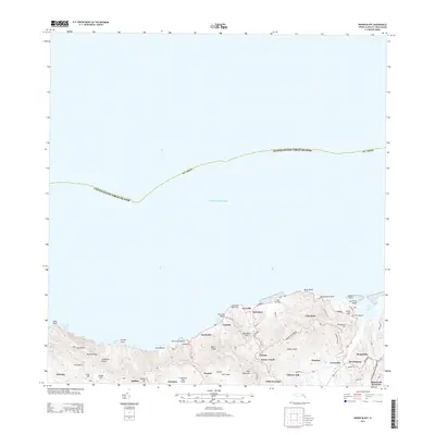
2013 · Baron Bluff
USGS Topo · 1:20,000
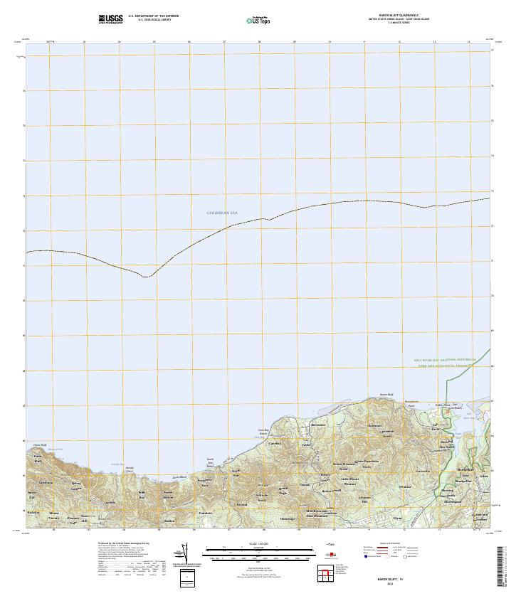
2024 · Baron Bluff
USGS Topo · 1:20,000
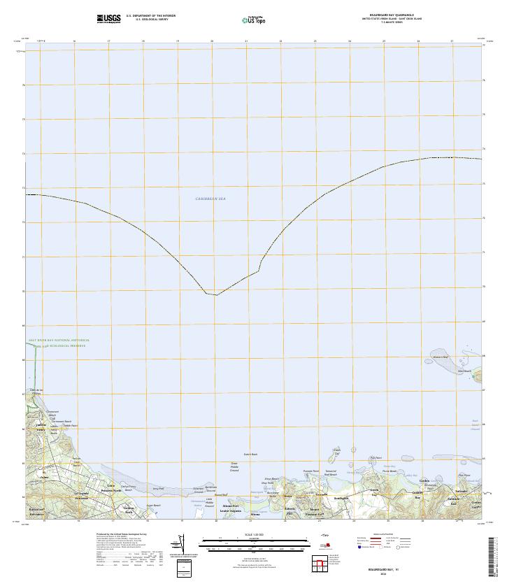
2024 · Beauregard Bay
USGS Topo · 1:20,000
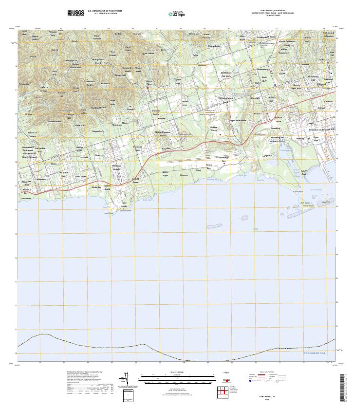
2024 · Long Point
USGS Topo · 1:20,000
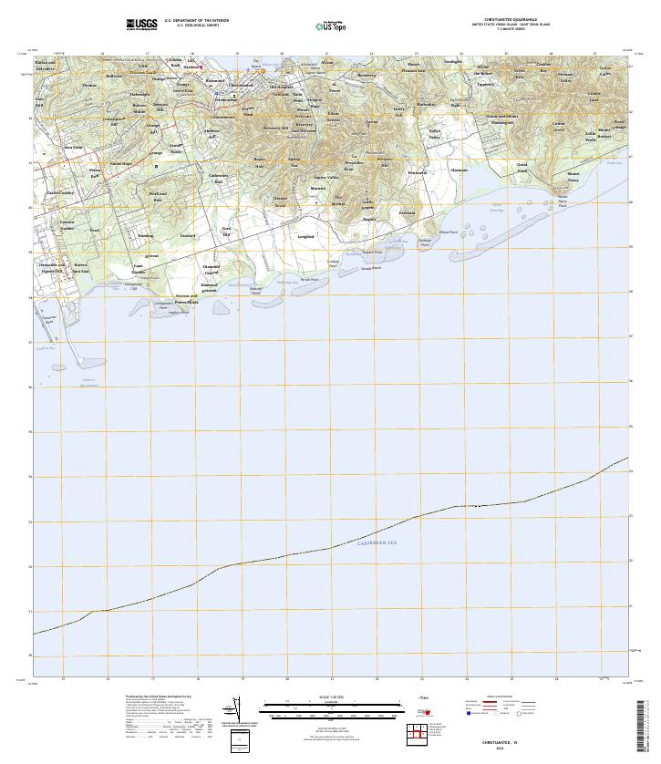
2024 · Christiansted
USGS Topo · 1:20,000
Featured Places
- Diamond Keturah, Saint Croix District
- Rust Op Twist, Saint Croix District
- Canegarden, Saint Croix District
- Grange, Saint Croix District
- Morningstar, Saint Croix District