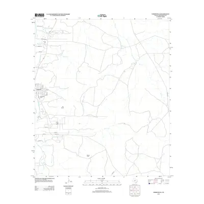
2012 Map of Christoval
USGS Topo · Published 2012About this map
The South Concho River defines the western reaches of this Tom Green County landscape, feeding the South Concho Irrigation Canal as it passes the community of Christoval. This 2012 survey illustrates the transition from the river valley to the limestone uplands of the Edwards Plateau, marked by distinctive heights like Mtn Susan and Brushy Knob. Evidence of early settlement and land use persists in the naming of local infrastructure, such as the storied Toenail Trl and the DeLong Cem near Walnut Cr.
Find a feature on this map
35 named features on this map. Tap any name to fly to it.
Don’t see what you’re looking for? This feature index may not catch every label — zoom into the map to look around manually.
Map Details
Editions of this 2012 Christoval Map
This is the sole edition of this map. No revisions or reprints were ever made.
Other maps of this area

1892 · San Angelo
USGS Topo · 1:125,000

1895 · Sherwood
USGS Topo · 1:125,000

1924 · San Angelo 2-c
USGS Topo · 1:48,000

1924 · Sherwood 1-d
USGS Topo · 1:48,000

1928 · Wall
USGS Topo · 1:62,500

1928 · Tankersly
USGS Topo · 1:62,500

1954 · San Angelo
USGS Topo · 1:250,000

1957 · Knickerbocker
USGS Topo · 1:62,500

1957 · Wall
USGS Topo · 1:62,500

1958 · San Angelo
USGS Topo · 1:250,000