Loading...
Loading map...2022 Map of Christoval
USGS Topo · Published 2022About this map
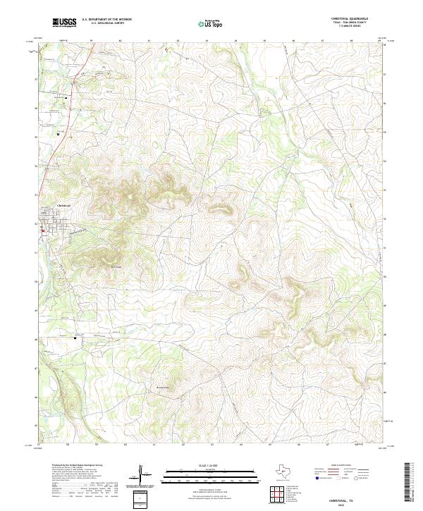
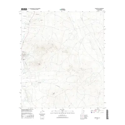
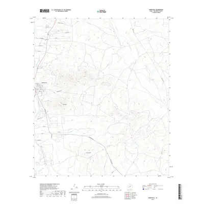
The South Concho River and the S Concho Irrigation Canal define the settlement patterns of this Tom Green County landscape, where water management remains central to the region’s geography. The town of Christoval sits at the western edge of the quadrangle, serving as a hub for the surrounding ranchlands and valleys. The terrain transitions from the open Stonewall Valley in the north to more prominent relief at Mtn Susan and Brushy Knob further south.
Find a feature on this map
39 named features on this map. Tap any name to fly to it.
Don’t see what you’re looking for? This feature index may not catch every label — zoom into the map to look around manually.
Map Details
Date Portrayed2022
Date Published2022
PublisherU.S. Geological Survey
Map TypeTopographic
Scale1:24,000
Physical Dimensions24 x 29 inches
Editions of this 2022 Christoval Map
This is the sole edition of this map. No revisions or reprints were ever made.
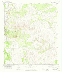
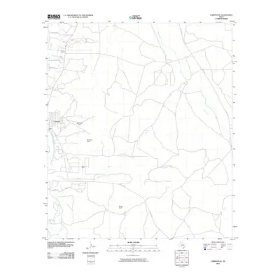
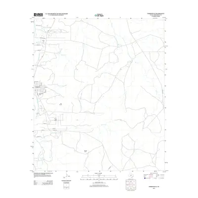
Historical Maps of Christoval Through Time
6 maps found
Featured Locations
Source Details
SourceU.S. Geological Survey
CopyrightPublic Domain