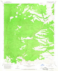
1966 Map of Chrome Butte
USGS Topo · Published 1968About this map
McMillanville (Site) serves as a focal point of historical interest in this mid-1960s survey of central Arizona. This former mining settlement, accompanied by the nearby Old Owen McMillan Mine, underscores the area's prospecting legacy. The landscape is split between the Tonto National Forest and the San Carlos Indian Reservation, with the boundary running through high-elevation terrain including Apache Peaks and Richmond Mtn. Human activity is concentrated along the drainages of Sevenmile Wash and Commerman Wash, where scattered locations like Winters Ranch, Griffin Ranch, and the Jones Water Campground provide evidence of rural habitation and land use. Numerous Jeep Trails wind through the canyons, connecting remote points such as Chrome Butte and Steer Mountain to the few established roadways.
Find a feature on this map
26 named features on this map. Tap any name to fly to it.
Don’t see what you’re looking for? This feature index may not catch every label — zoom into the map to look around manually.
Map Details
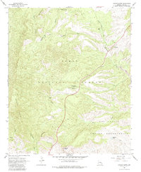
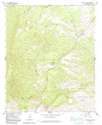
Editions of this 1966 Chrome Butte Map
3 editions found
Other maps of this area

1901 · Globe
USGS Topo · 1:62,500

1902 · Globe
USGS Topo · 1:62,500

1922 · Chrysotile
USGS Topo · 1:125,000

1945 · Globe
USGS Topo · 1:24,000

1949 · Rockinstraw Mtn
USGS Topo · 1:62,500

1950 · Rockinstraw Mtn
USGS Topo · 1:62,500

1954 · Mesa
USGS Topo · 1:250,000

1957 · Mesa
USGS Topo · 1:250,000

1958 · Mesa
USGS Topo · 1:250,000

1960 · Mesa
USGS Topo · 1:250,000