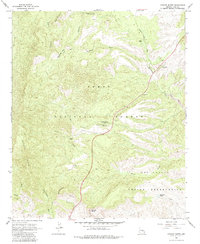
1966 Map of Chrome Butte
USGS Topo · Published 1985About this map
The rugged mining and ranching legacy of Gila County is etched into this 1966 topographic survey. Central to the map is the former silver camp of McMillanville (Site), once a bustling center for the Old Owen McMillan Mine. The terrain is defined by dramatic relief, stretching from the Apache Peaks and Richmond Mtn toward the southern edge of the Tonto National Forest. Sparse human activity is recorded through isolated outposts such as Winters Ranch and Griffin Ranch, alongside scattered corrals and water tanks essential for livestock in this arid environment.
Find a feature on this map
25 named features on this map. Tap any name to fly to it.
Don’t see what you’re looking for? This feature index may not catch every label — zoom into the map to look around manually.
Map Details
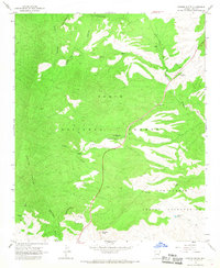
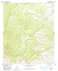
Editions of this 1966 Chrome Butte Map
3 editions found
Other maps of this area

1901 · Globe
USGS Topo · 1:62,500

1902 · Globe
USGS Topo · 1:62,500

1922 · Chrysotile
USGS Topo · 1:125,000

1945 · Globe
USGS Topo · 1:24,000

1949 · Rockinstraw Mtn
USGS Topo · 1:62,500

1950 · Rockinstraw Mtn
USGS Topo · 1:62,500

1954 · Mesa
USGS Topo · 1:250,000

1957 · Mesa
USGS Topo · 1:250,000

1958 · Mesa
USGS Topo · 1:250,000

1960 · Mesa
USGS Topo · 1:250,000