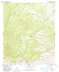
1966 Map of Chrome Butte
USGS Topo · Published 1992About this map
McMillanville (Site) stands as a focal point of historical mining activity in this corner of the Arizona high country, situated at the boundary between the Tonto National Forest and the San Carlos Indian Reservation. The presence of the Old Owen McMillan Mine and scattered features like Winters Ranch and Griffin Ranch reflect a landscape shaped by late 19th-century prospecting and ranching.
Find a feature on this map
26 named features on this map. Tap any name to fly to it.
Don’t see what you’re looking for? This feature index may not catch every label — zoom into the map to look around manually.
Map Details
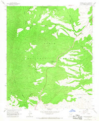
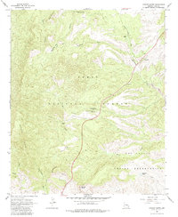
Editions of this 1966 Chrome Butte Map
3 editions found
Other maps of this area

1901 · Globe
USGS Topo · 1:62,500

1902 · Globe
USGS Topo · 1:62,500

1922 · Chrysotile
USGS Topo · 1:125,000

1945 · Globe
USGS Topo · 1:24,000

1949 · Rockinstraw Mtn
USGS Topo · 1:62,500

1950 · Rockinstraw Mtn
USGS Topo · 1:62,500

1954 · Mesa
USGS Topo · 1:250,000

1957 · Mesa
USGS Topo · 1:250,000

1958 · Mesa
USGS Topo · 1:250,000

1960 · Mesa
USGS Topo · 1:250,000