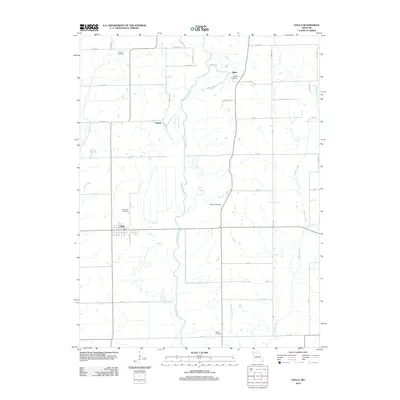
2012 Map of Chula
USGS Topo · Published 2012About this map
Medicine Creek meanders through the heart of this North Missouri landscape, defining the drainage patterns and valley road placements between Chula and Alpha. This 2012 survey captures a rural landscape where small settlements and crossroads are punctuated by numerous family and community burial grounds, such as Stucker Cemetery and Plainview Cemetery. The settlement at Chula shows a concentrated street grid including Cherry street, while the surrounding territory remains dominated by an extensive network of county roads like Liv 200 and Liv 257. To the east, Muddy Creek and the Norman Branch provide further topographical relief, illustrating the intricate creek systems that have shaped farming and land use in Livingston County for generations. Genealogists will find significant value in the distribution of smaller sites like Niantic and Ricket Cemetery, which preserve the names of early local families.
Find a feature on this map
42 named features on this map. Tap any name to fly to it.
Don’t see what you’re looking for? This feature index may not catch every label — zoom into the map to look around manually.
Map Details
Editions of this 2012 Chula Map
This is the sole edition of this map. No revisions or reprints were ever made.
Other maps of this area

1921 · Chillicothe
USGS Topo · 1:62,500

1923 · Chillicothe
USGS Topo · 1:62,500

1924 · Chula
USGS Topo · 1:62,500

1946 · Galt
USGS Topo · 1:62,500

1947 · Chula
USGS Topo · 1:62,500

1948 · Trenton
USGS Topo · 1:62,500

1949 · Galt
USGS Topo · 1:62,500

1953 · Moberly
USGS Topo · 1:250,000

1954 · Centerville
USGS Topo · 1:250,000

1954 · Moberly
USGS Topo · 1:250,000