
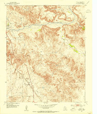
1953 Map of Chunky
USGS Topo · Published 1954About this map
The Canadian River flows through this portion of Potter County, carving a landscape defined by deep drainages like Saddle Horse Canyon and numerous active springs such as Tincup Spring and Bullfrog Spring. Ranching operations dominate the uplands, represented by the Kritser Ranch and L X Ranch. These sprawling estates are punctuated by scattered Windmill sites and even a Windcharger, indicating the infrastructure required for water and power in this environment.
Find a feature on this map
20 named features on this map. Tap any name to fly to it.
Don’t see what you’re looking for? This feature index may not catch every label — zoom into the map to look around manually.
Map Details
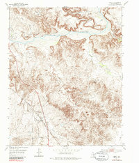
Editions of this 1953 Chunky Map
3 editions found
Other maps of this area

1934 · Cliffside
USGS Topo · 1:62,500

1936 · Fourways
USGS Topo · 1:62,500

1936 · Cliffside
USGS Topo · 1:62,500

1939 · Sanford
USGS Topo · 1:62,500

1953 · Marsh
USGS Topo · 1:24,000

1953 · Puente
USGS Topo · 1:24,000

1953 · Alibates Ranch
USGS Topo · 1:24,000

1953 · Pleasant Valley
USGS Topo · 1:24,000

1953 · Mayer
USGS Topo · 1:24,000

1953 · McDowell Creek
USGS Topo · 1:24,000