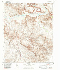
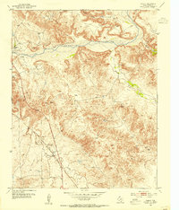
1953 Map of Chunky
USGS Topo · Published 1985About this map
The Canadian River carves a deep path through this portion of Potter County, defining a landscape marked by steep canyons and seasonal drainage systems. During the early 1950s, this area supported a mix of ranching operations and industrial infrastructure, evidenced by the Kritzer Ranch and LX Ranch alongside several Gravel Pits. The Panhandle and Santa Fe Railroad cuts through the southwestern corner, providing a vital transportation link for the region's cattle and minerals. Water sources are critical in this arid terrain, with Bulldog Spring, Big Spring, and Tincup Spring dotting the map alongside various windmills and gas wells. The small settlement of Chunky sits along the rail line near Amarillo Creek, serving as a localized point of activity in an otherwise open ranching environment.
Find a feature on this map
25 named features on this map. Tap any name to fly to it.
Don’t see what you’re looking for? This feature index may not catch every label — zoom into the map to look around manually.
Map Details
Editions of this 1953 Chunky Map
3 editions found
Other maps of this area

1934 · Cliffside
USGS Topo · 1:62,500

1936 · Fourways
USGS Topo · 1:62,500

1936 · Cliffside
USGS Topo · 1:62,500

1939 · Sanford
USGS Topo · 1:62,500

1953 · Chunky
USGS Topo · 1:24,000

1953 · Marsh
USGS Topo · 1:24,000

1953 · Puente
USGS Topo · 1:24,000

1953 · Alibates Ranch
USGS Topo · 1:24,000

1953 · Pleasant Valley
USGS Topo · 1:24,000

1953 · Mayer
USGS Topo · 1:24,000