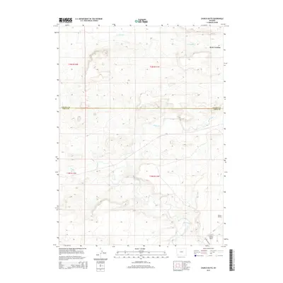
2015 Map of Church Butte
USGS Topo · Published 2015About this map
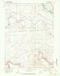
Blacks Fork and its complex of desert tributaries define this landscape along the border of Lincoln and Uinta Counties. The map centers on the high desert terrain of the Green River Basin, where the meandering Muddy Cr joins the larger Blacks Fork drainage system. Human presence in this arid environment is concentrated around water access and transportation routes, with the landmark Church Butte standing as a prominent topographic feature in the southeastern corner.
Find a feature on this map
13 named features on this map. Tap any name to fly to it.
Don’t see what you’re looking for? This feature index may not catch every label — zoom into the map to look around manually.
Map Details
Editions of this 2015 Church Butte Map
This is the sole edition of this map. No revisions or reprints were ever made.
Other maps of this area

1954 · Ogden
USGS Topo · 1:250,000

1958 · Ogden
USGS Topo · 1:250,000

1960 · Ogden
USGS Topo · 1:250,000
1964 · Wildcat Butte
USGS Topo · 1:24,000

1964 · Austin Reservoir
USGS Topo · 1:24,000
1965 · Millersville
USGS Topo · 1:24,000

1969 · Church Butte NW
USGS Topo · 1:24,000
1969 · Moxa
USGS Topo · 1:24,000
1969 · Verne
USGS Topo · 1:24,000

1969 · Roberson Creek
USGS Topo · 1:24,000