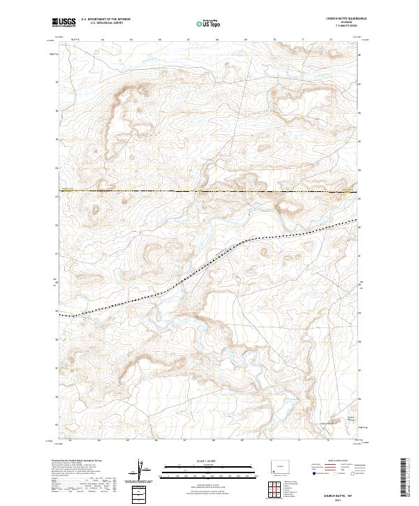
2021 Map of Church Butte
USGS Topo · Published 2021About this map
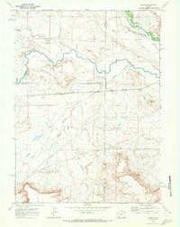
Blacks Fork meanders through the high desert of southwestern Wyoming, carving a winding path across the border between Lincoln and Uinta counties. The landscape is defined by its drainage systems, where Muddy Creek and Dry Muddy Creek converge toward the larger fork, shaping the eroded terrain of Porter Hollow. The Union Pacific Railroad cuts a straight course east-to-west across the central plains, a modern continuation of the historic transcontinental transportation corridor that once brought pioneers and industry to this region. Near the southeastern corner, the small settlement of Church Butte sits along County Road 231, serving as a localized point of activity in an otherwise open range. The map illustrates the persistent importance of water and rail in navigating the arid basins of the Great Divide area.
Find a feature on this map
12 named features on this map. Tap any name to fly to it.
Don’t see what you’re looking for? This feature index may not catch every label — zoom into the map to look around manually.
Map Details
Editions of this 2021 Church Butte Map
This is the sole edition of this map. No revisions or reprints were ever made.
Other maps of this area

1954 · Ogden
USGS Topo · 1:250,000

1958 · Ogden
USGS Topo · 1:250,000

1960 · Ogden
USGS Topo · 1:250,000
1964 · Wildcat Butte
USGS Topo · 1:24,000

1964 · Austin Reservoir
USGS Topo · 1:24,000
1965 · Millersville
USGS Topo · 1:24,000

1969 · Church Butte NW
USGS Topo · 1:24,000
1969 · Moxa
USGS Topo · 1:24,000
1969 · Verne
USGS Topo · 1:24,000

1969 · Roberson Creek
USGS Topo · 1:24,000