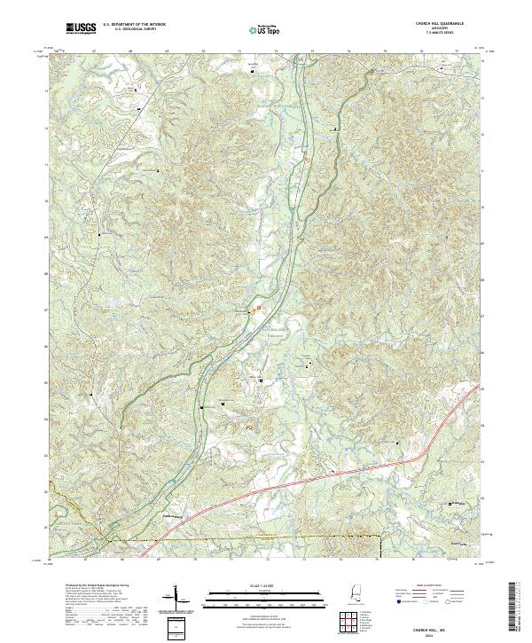
2024 Map of Church Hill
USGS Topo · Published 2024About this map
Emerald Mound serves as a prominent landmark in this southern portion of Jefferson County, where the landscape is defined by the intricate drainage of South Fork Coles Creek and its many tributaries. The area around Cannonsburg and Stampley is characterized by a dense concentration of family and community burial grounds, including Springfield Cem, Brooks Cem, and Bell Grove Cem, which offer significant value for genealogical research in this rural Mississippi corridor.
Find a feature on this map
71 named features on this map. Tap any name to fly to it.
Don’t see what you’re looking for? This feature index may not catch every label — zoom into the map to look around manually.
Map Details
Editions of this 2024 Church Hill Map
This is the sole edition of this map. No revisions or reprints were ever made.
Other maps of this area

1921 · Natchez
USGS Topo · 1:48,000

1922 · Natchez
USGS Topo · 1:62,500

1939 · Lorman
USGS Topo · 1:62,500

1939 · Natchez
USGS Topo · 1:62,500

1939 · Locust Ridge
USGS Topo · 1:62,500

1953 · Natchez
USGS Topo · 1:250,000

1956 · Natchez
USGS Topo · 1:250,000

1958 · St. Joseph
USGS Topo · 1:62,500

1959 · Natchez
USGS Topo · 1:250,000

1962 · Fayette
USGS Topo · 1:62,500