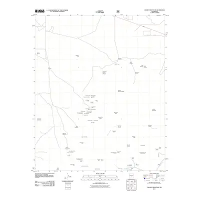
2011 Map of Church Mountain
USGS Topo · Published 2011About this map
Mining operations and cattle ranching infrastructure define this section of Lincoln County, New Mexico. The landscape is a dense network of early 21st-century mining claims and legacy sites concentrated along Shelerville Ridge and the slopes of Church Mountain. Prominent operations include the Moscow Mine, Homestake Mine, and the Telluride Mine, alongside specialized claims like the Silver-Copper Claim and Copper Glance Claim. This concentration of minerals suggests a storied history of prospecting that continues into the modern era.
Find a feature on this map
71 named features on this map. Tap any name to fly to it.
Don’t see what you’re looking for? This feature index may not catch every label — zoom into the map to look around manually.
Map Details
Editions of this 2011 Church Mountain Map
This is the sole edition of this map. No revisions or reprints were ever made.
Other maps of this area

1934 · Capitan
USGS Topo · 1:48,000

1937 · Capitan
USGS Topo · 1:62,500

1938 · Carrizozo
USGS Topo · 1:48,000

1943 · Carrizozo
USGS Topo · 1:62,500

1950 · Carrizozo
USGS Topo · 1:62,500

1950 · Sierra Blanca Peak
USGS Topo · 1:62,500

1955 · Roswell
USGS Topo · 1:250,000

1958 · Roswell
USGS Topo · 1:250,000

1962 · Roswell
USGS Topo · 1:250,000

1963 · Angus
USGS Topo · 1:24,000