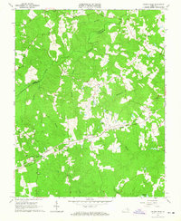
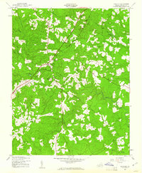
1963 Map of Church Road
USGS Topo · Published 1965About this map
The boundary between Amelia and Dinwiddie counties is defined by the winding course of Namozine Creek in this mid-1960s portrait of rural Virginia. The landscape is characterized by a dense network of country churches and their associated burying grounds, including Namozine Ch, Trinity Ch, and the Mispah Cem. This concentration of religious sites suggests a deeply rooted community structure centered around small crossroads settlements like Church Road and Walkers.
Find a feature on this map
34 named features on this map. Tap any name to fly to it.
Don’t see what you’re looking for? This feature index may not catch every label — zoom into the map to look around manually.
Map Details
Editions of this 1963 Church Road Map
3 editions found
Other maps of this area

1897 · Amelia
USGS Topo · 1:125,000
1943 · Goodes Bridge
USGS Topo · 1:31,680

1943 · De Witt
USGS Topo · 1:24,000
1943 · Dinwiddie
USGS Topo · 1:24,000

1943 · Beach
USGS Topo · 1:24,000

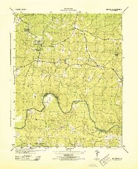
1943 · Church Road
USGS Topo · 1:24,000

1943 · Winterpock
USGS Topo · 1:24,000

1943 · Sutherland
USGS Topo · 1:24,000

1943 · Richmond
USGS Topo · 1:250,000
1944 · Winterpock
USGS Topo · 1:31,680