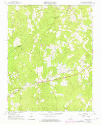
1963 Map of Church Road
USGS Topo · Published 1976About this map
Norfolk and Western railway tracks bisect the landscape between Church Road and Ford, serving as the primary economic artery for this portion of southern Virginia. This mid-century survey, updated with 1974 photorevisions, reveals a rural society built around small ecclesiastical centers and family-named landmarks. The terrain is defined by the drainage systems of Namozine Creek and Whipponock Creek, where numerous small churches and cemeteries like Marmora Ch and Mispah Cem dot the intersections. The presence of Poole Siding and the Gravel Pit near the rail line illustrates the local industrial character of the era, while the northern edge of the map captures the southern reaches of Lake Chesdin. Genealogists will find significant value in the detailed placement of rural burial sites, including Whites Cem and Norris Cem, many of which are associated with long-standing congregations such as St Peters Ch and Union Ch.
Find a feature on this map
33 named features on this map. Tap any name to fly to it.
Don’t see what you’re looking for? This feature index may not catch every label — zoom into the map to look around manually.
Map Details
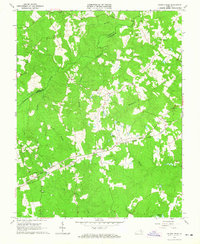
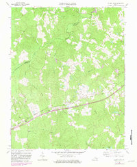
Editions of this 1963 Church Road Map
3 editions found
Other maps of this area

1897 · Amelia
USGS Topo · 1:125,000

1943 · Goodes Bridge
USGS Topo · 1:31,680

1943 · De Witt
USGS Topo · 1:24,000

1943 · Dinwiddie
USGS Topo · 1:24,000

1943 · Beach
USGS Topo · 1:24,000

1943 · Church Road
USGS Topo · 1:24,000

1943 · Winterpock
USGS Topo · 1:24,000

1943 · Sutherland
USGS Topo · 1:24,000

1943 · Richmond
USGS Topo · 1:250,000
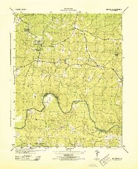
1944 · Winterpock
USGS Topo · 1:31,680