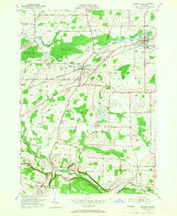
1950 Map of Churchville
USGS Topo · Published 1967About this map
Black Creek meanders through the northern reaches of this landscape, anchoring the Bergen Swamp Wildlife Sanctuary and the established village of Churchville. This mid-century survey illustrates the industrial and transport backbone of the Genesee and Monroe county line, where the New York Central and Lehigh Valley railroads intersect the agrarian terrain. Smaller settlements like Bergen and Jericon Corners appear alongside notable landmarks such as the Stone Church and Churchville Park.
Find a feature on this map
46 named features on this map. Tap any name to fly to it.
Don’t see what you’re looking for? This feature index may not catch every label — zoom into the map to look around manually.
Map Details
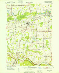
Editions of this 1950 Churchville Map
2 editions found
Other maps of this area

1897 · Albion
USGS Topo · 1:62,500

1899 · Brockport
USGS Topo · 1:62,500

1904 · Batavia
USGS Topo · 1:62,500

1904 · Caledonia
USGS Topo · 1:62,500

1932 · Spencerport
USGS Topo · 1:24,000

1934 · Spencerport
USGS Topo · 1:24,000

1934 · Brockport
USGS Topo · 1:24,000

1934 · Clifton
USGS Topo · 1:24,000

1935 · Churchville
USGS Topo · 1:24,000

1944 · Churchville
USGS Topo · 1:31,680