2024 Map of Ciales
USGS Topo · Published 2024About this map
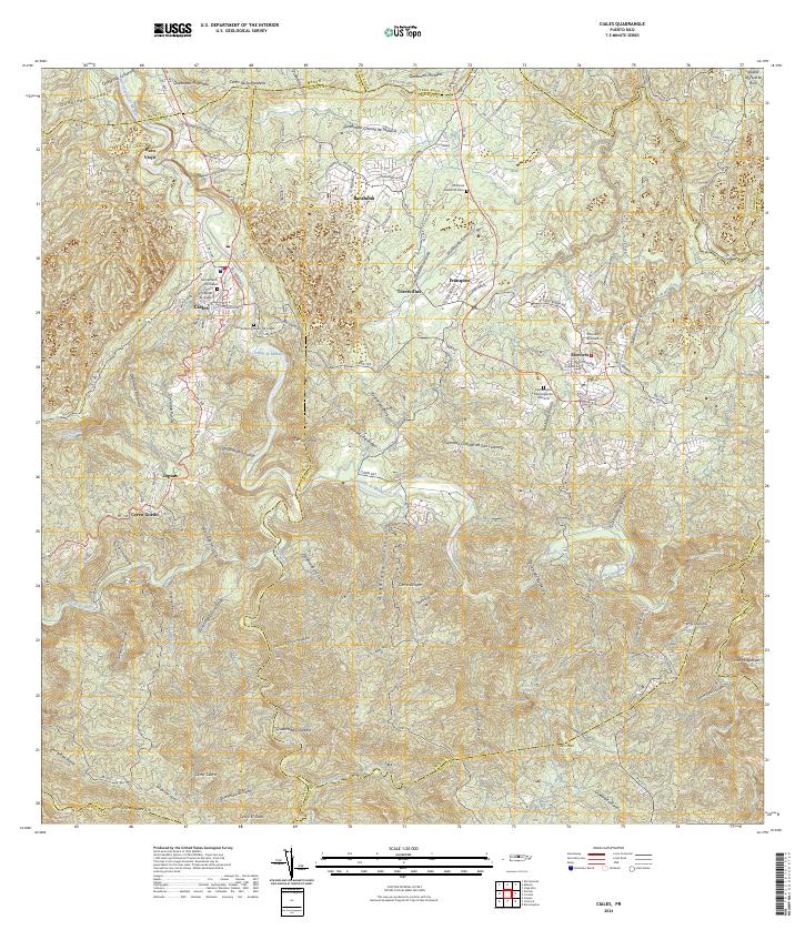
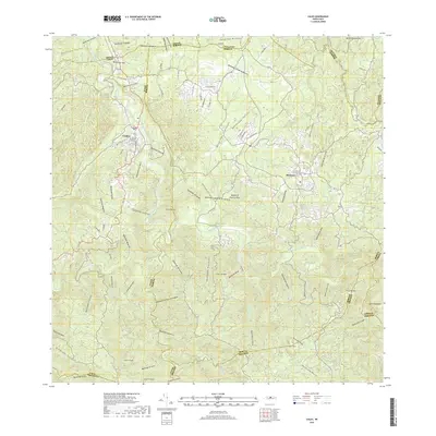
The town of Ciales and its neighbor Morovis anchor this 2024 survey of Puerto Rico's central mountain region. The landscape is defined by the deep carving of the Río Grande de Manatí and the Río Morovis, where dense settlement patterns follow the winding routes of Carr 155 and PR-149. For those tracing local history, the map provides precise locations for the Cementerio de Ciales and its newer counterpart, Cementerio Nuevo de Ciales, alongside the Morovis National Cem. Beyond the urban centers, smaller communities like Hato Viejo, Barahona, and Torrecillas are shown amidst a complex terrain of named peaks such as Cerro de la Bandera and Cerro Purron. The map also illustrates the transition to the south into the higher reaches of Cerro Avispa and Cerro Malo, where the headwaters of the Río Bauta begin to take shape.
Find a feature on this map
97 named features on this map. Tap any name to fly to it.
Don’t see what you’re looking for? This feature index may not catch every label — zoom into the map to look around manually.
Map Details
Editions of this 2024 Ciales Map
This is the sole edition of this map. No revisions or reprints were ever made.
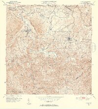
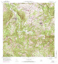
Historical Maps of Ciales Through Time
6 maps found

Featured Locations
- Sector La Loma de los Castro, Vega Baja
- Morovis, Morovis
- Ciales, Ciales
- Estancias Fullana, Ciales
- La Cumbre, Ciales