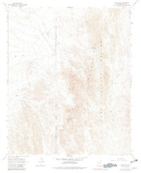
1965 Map of Cibola SE
USGS Topo · Published 1982About this map
Trigo Mountains terrain dominates this 1960s survey of the Arizona desert, where the landscape is defined by jagged ridges and intricate drainage systems. The map captures a transition between public land and the Yuma Proving Ground, marked by a Military Reservation Boundary that cuts through the arid valley floors. Local industrial history is recorded at the Hart Mine and a nearby Gravel Pit, providing evidence of the small-scale resource extraction that punctuated the high-desert environment. Seasonal hydrology is clearly mapped through numerous arroyos, including the descriptively named Crazy Woman Wash, Hart Mine Wash, and Gould Wash. Navigating the steep slopes, Jeep Trails offer the only routes toward landmarks such as the Needles Eye, reflecting the isolation of this corner of Yuma County.
Find a feature on this map
11 named features on this map. Tap any name to fly to it.
Don’t see what you’re looking for? This feature index may not catch every label — zoom into the map to look around manually.
Map Details
Editions of this 1965 Cibola SE Map
3 editions found
Other maps of this area

1934 · Trigo Peaks
USGS Topo · 1:48,000

1939 · Red Hill
USGS Topo · 1:62,500

1939 · Trigo Peaks
USGS Topo · 1:62,500

1942 · Blythe
USGS Topo · 1:250,000

1945 · Cibola
USGS Topo · 1:62,500

1945 · Picacho
USGS Topo · 1:62,500

1951 · Picacho
USGS Topo · 1:62,500

1951 · Cibola
USGS Topo · 1:62,500

1952 · Mule Wash
USGS Topo · 1:24,000

1952 · Palo Verde
USGS Topo · 1:24,000