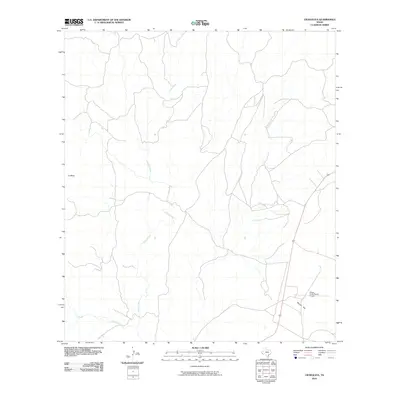
2010 Map of Cieneguita
USGS Topo · Published 2010About this map
Cibolo Creek defines the drainage pattern of this high-desert landscape in Presidio County, carving a path through the arid terrain as it flows toward the south. The 2010 geography reveals a sparsely developed region where modern infrastructure is primarily represented by the Cibolo Creek Ranch Airport located near Bunton Flat. Significant topographical features like the prominent landform of La Mesa and the drainage of Oso Creek illustrate the physical character of the Far West Texas brushland. The map reflects a moment in time when this remote corridor near the Chinati Mountains remained largely defined by its natural watercourses and cattle-ranching legacy, with only a single primary roadway traversing the eastern portion of the quadrangle.
Find a feature on this map
5 named features on this map. Tap any name to fly to it.
Don’t see what you’re looking for? This feature index may not catch every label — zoom into the map to look around manually.
Map Details
Editions of this 2010 Cieneguita Map
This is the sole edition of this map. No revisions or reprints were ever made.
Other maps of this area

1895 · Marfa
USGS Topo · 1:125,000

1896 · Shafter
USGS Topo · 1:125,000

1959 · Presidio
USGS Topo · 1:250,000

1959 · Marfa
USGS Topo · 1:250,000

1965 · Presidio
USGS Topo · 1:250,000

1965 · Marfa
USGS Topo · 1:250,000
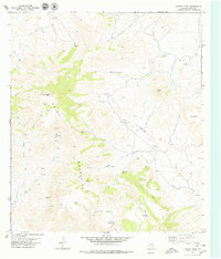
1979 · Chinati Peak
USGS Topo · 1:24,000

1983 · Shafter
USGS Topo · 1:24,000

1983 · Cuesta Del Burro East
USGS Topo · 1:24,000

1983 · Cienega Mountains
USGS Topo · 1:24,000