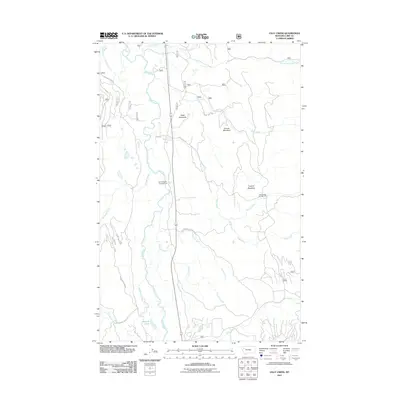
2011 Map of Cilly Creek
USGS Topo · Published 2011About this map
The Swan River flows through this Lake County corridor, forming a central drainage for a network of tributaries that includes Cilly Creek, Soup Creek, and In-pa-ah Creek. The landscape is defined by its water systems and significant open clearings like State Meadows, Graves Meadows, and Foothill Meadows. This 2011 survey records the road and trail networks facilitating access to the area's natural resources and recreation, such as Lower Porcupine Rd and Woodward Point Rd. Toward the southern end of the sheet, Metcalf Lake sits near the headwaters of Woodward Creek. For those interested in the recreational history of the Montana mountains, the map identifies established sites like the Point Pleasant Campground and Soup Creek Campground, along with local landmarks like Graves Meadows.
Find a feature on this map
25 named features on this map. Tap any name to fly to it.
Don’t see what you’re looking for? This feature index may not catch every label — zoom into the map to look around manually.
Map Details
Editions of this 2011 Cilly Creek Map
This is the sole edition of this map. No revisions or reprints were ever made.
Other maps of this area

1955 · Choteau
USGS Topo · 1:250,000

1957 · Choteau
USGS Topo · 1:250,000

1958 · Choteau
USGS Topo · 1:250,000

1962 · Choteau
USGS Topo · 1:250,000
1965 · Connor Creek
USGS Topo · 1:24,000
1965 · Swan Lake
USGS Topo · 1:24,000
1965 · Thunderbolt Mountain
USGS Topo · 1:24,000

1965 · Swan Peak
USGS Topo · 1:24,000
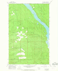
1965 · Yew Creek
USGS Topo · 1:24,000
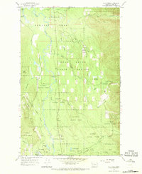
1965 · Cilly Creek
USGS Topo · 1:24,000