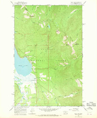
1965 Map of Swan Lake
USGS Topo · Published 1968About this map
Swan Lake anchors this mid-century survey of the rugged interface between Flathead National Forest and the Swan River valley. The map documents a landscape defined by forest management and backcountry access, centered on the Swan Lake settlement and the nearby Swan Lake Guard Station. High-elevation landmarks like Sixmile Mountain, Hall Peak, and Con Kelley Mountain loom over a network of primitive routes, including the Alpine Pack Trail and the Wire Trail.
Find a feature on this map
32 named features on this map. Tap any name to fly to it.
Don’t see what you’re looking for? This feature index may not catch every label — zoom into the map to look around manually.
Map Details
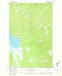
Editions of this 1965 Swan Lake Map
2 editions found
Other maps of this area

1914 · Nyack
USGS Topo · 1:125,000

1955 · Choteau
USGS Topo · 1:250,000

1957 · Choteau
USGS Topo · 1:250,000

1958 · Choteau
USGS Topo · 1:250,000

1958 · Quintonkon
USGS Topo · 1:24,000

1960 · Cut Bank
USGS Topo · 1:250,000

1962 · Choteau
USGS Topo · 1:250,000

1963 · Cut Bank
USGS Topo · 1:250,000

1964 · Cut Bank
USGS Topo · 1:250,000
1964 · Crater Lake
USGS Topo · 1:24,000