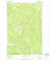
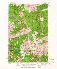
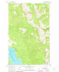
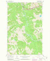
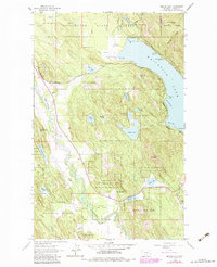
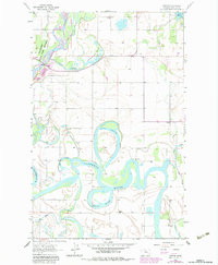
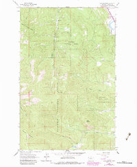
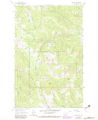
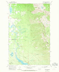
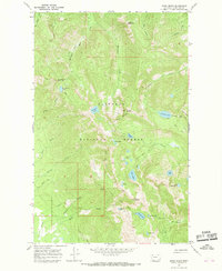
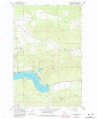
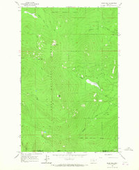
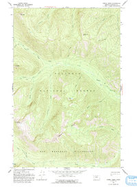
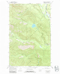
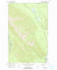
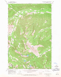
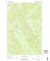
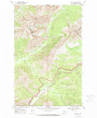
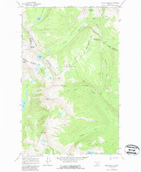
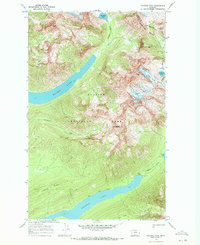
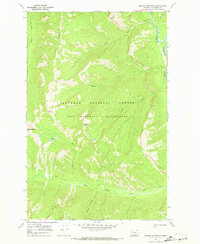
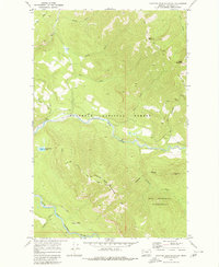
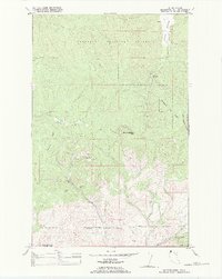
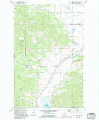
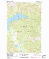
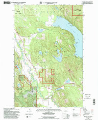
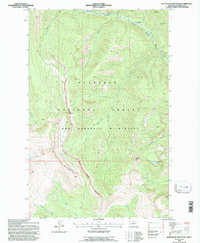
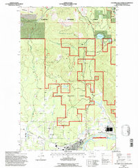
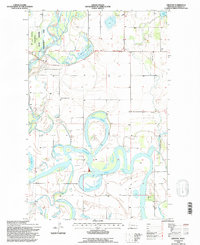
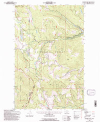
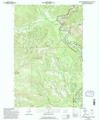
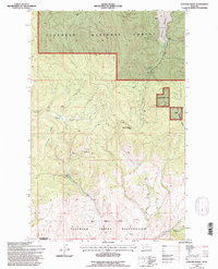
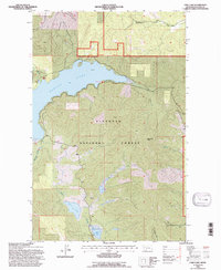
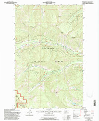
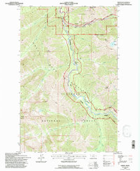
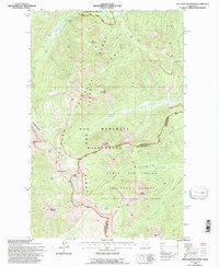
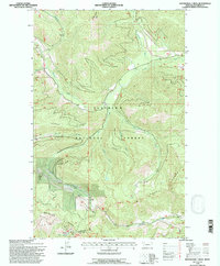
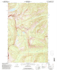
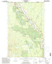
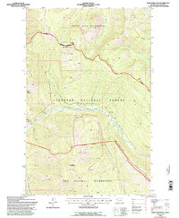
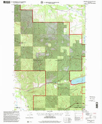
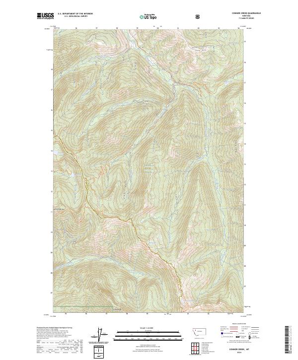
1965 Map of Connor Creek
USGS Topo · Published 1968About this map
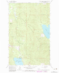
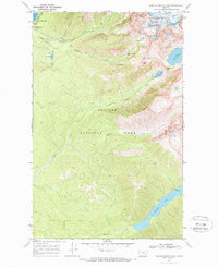
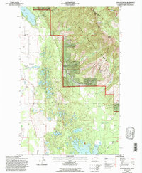
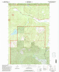
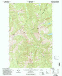
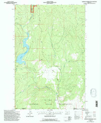
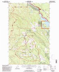
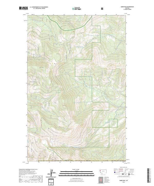
Flathead National Forest and the Swan River State Forest converge in this high-altitude landscape, where the county line between Flathead and Lake counties follows the sharp topographic crests. The area is defined by its network of backcountry paths, including the Alpine Trail and various unnamed pack trails that navigate between summits like Kah Mountain and Spring Slide Mountain. These routes connect a series of remote glacial lakes, such as Soldier Lake, Bond Lake, and Crevice Lake, which feed the steep drainages of Connor Creek and the North Fork Lost Creek. The presence of a Shelter Cabin near the southern edge of the survey suggests the importance of this terrain for forest management and mountain travel during the mid-1960s, prior to later modern developments.
Find a feature on this map
26 named features on this map. Tap any name to fly to it.
Don’t see what you’re looking for? This feature index may not catch every label — zoom into the map to look around manually.
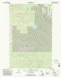
Map Details
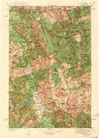
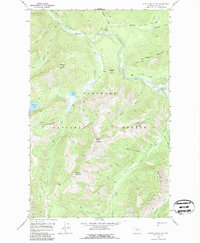
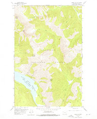
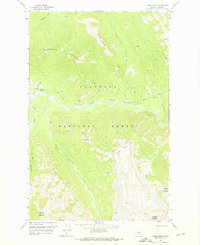
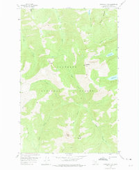
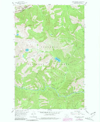
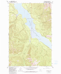
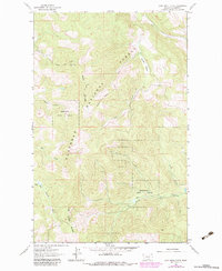
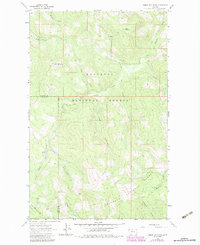
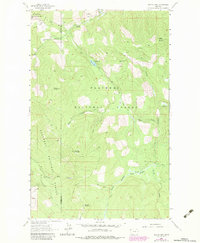
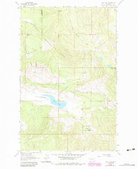
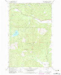
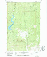
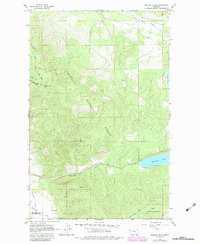
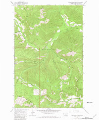
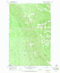
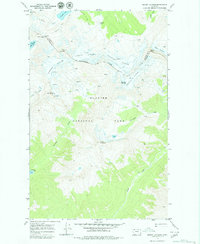
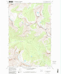
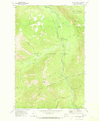
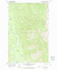
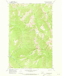
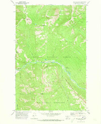
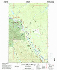
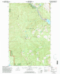
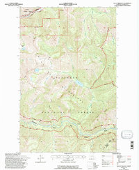
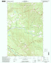
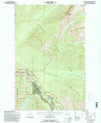
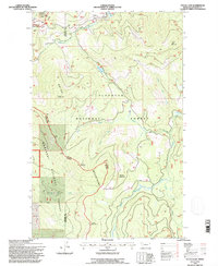
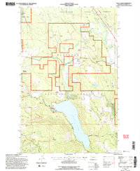
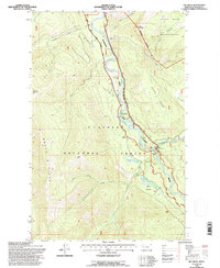
Editions of this 1965 Connor Creek Map
2 editions found
Historical Maps of Flathead County Through Time
278 maps found
1906 Kinta Lakes
Flathead County, MT
1913 Marias Pass
Flathead County, MT
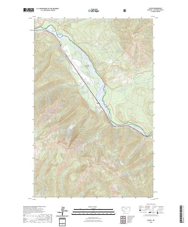
1914 Nyack
Flathead County, MT
1936 Silvertip
Flathead County, MT

1938 Kintla Lakes
Flathead County, MT
1942 Silvertip
Flathead County, MT
1958 Capitol Mountain
Flathead County, MT
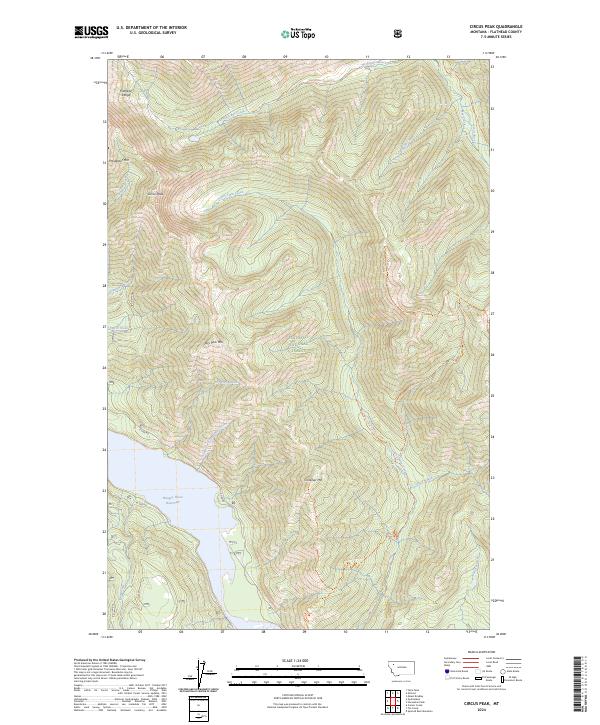
1958 Circus Peak
Flathead County, MT
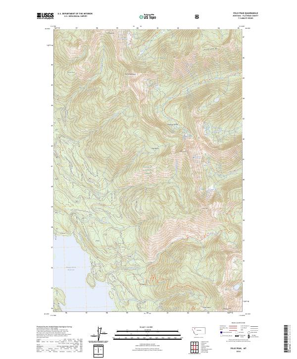
1958 Felix Peak
Flathead County, MT
1958 Gable Peaks
Flathead County, MT
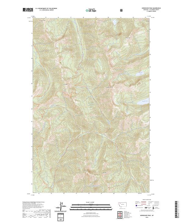
1958 Horseshoe Peak
Flathead County, MT
1958 Mount Bradley
Flathead County, MT
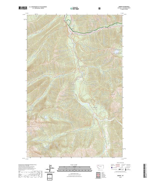
1958 Nimrod
Flathead County, MT
1958 Quintonkon
Flathead County, MT
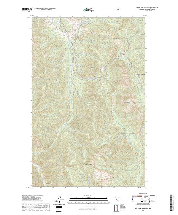
1958 Red Plume Mountain
Flathead County, MT
1962 Ashley Mountain
Flathead County, MT
1962 Beaver Lake
Flathead County, MT
1962 Blue Grass Ridge
Flathead County, MT
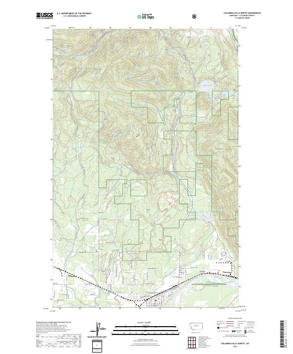
1962 Columbia Falls North
Flathead County, MT
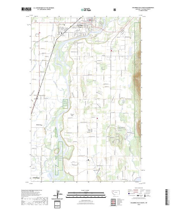
1962 Columbia Falls South
Flathead County, MT
1962 Creston
Flathead County, MT
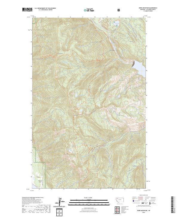
1962 Doris Mountain
Flathead County, MT
1962 Hash Mountain
Flathead County, MT
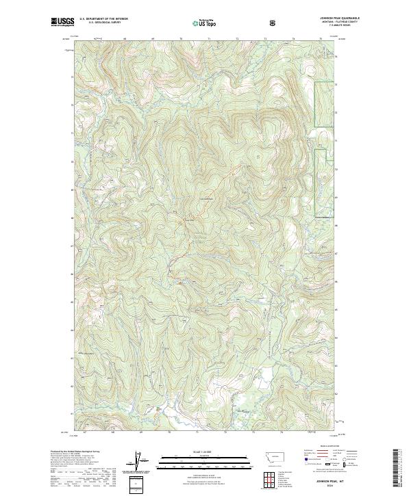
1962 Johnson Peak
Flathead County, MT
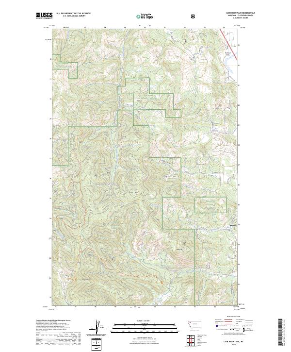
1962 Lion Mountain
Flathead County, MT
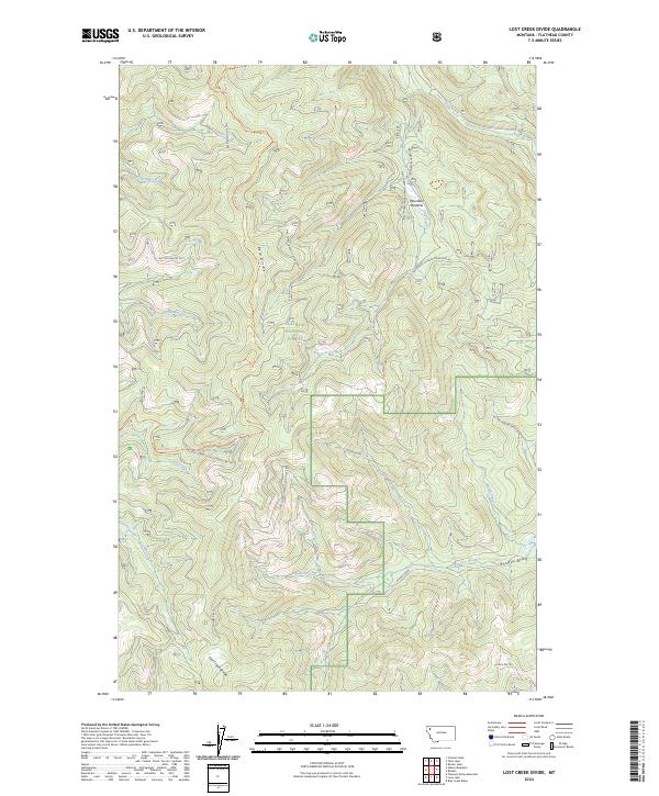
1962 Lost Creek Divide
Flathead County, MT
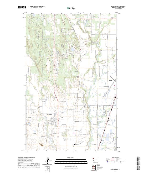
1962 Rose Crossing
Flathead County, MT
1962 Tally Lake
Flathead County, MT
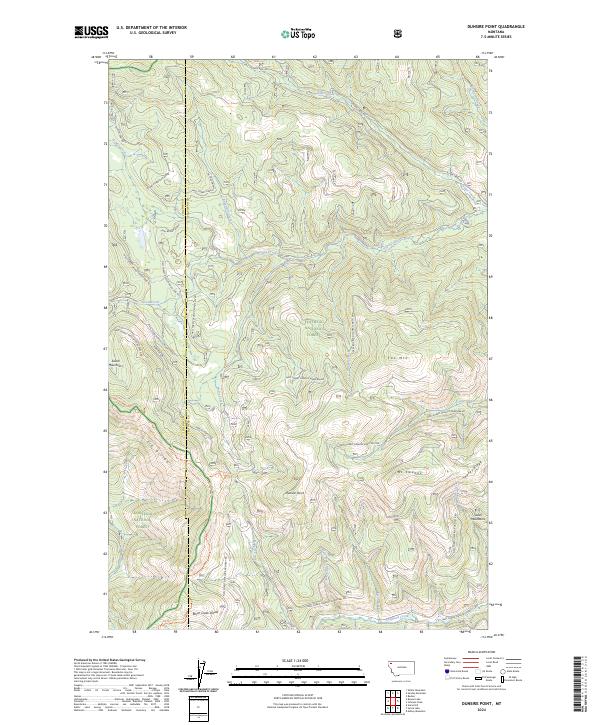
1963 Dunsire Point
Flathead County, MT
1963 Sunday Mountain
Flathead County, MT
1963 Sylvia Lake
Flathead County, MT
1964 Big Hawk Mountain
Flathead County, MT
1964 Crater Lake
Flathead County, MT
1964 Dahl Lake
Flathead County, MT
1964 Haskill Mountain
Flathead County, MT
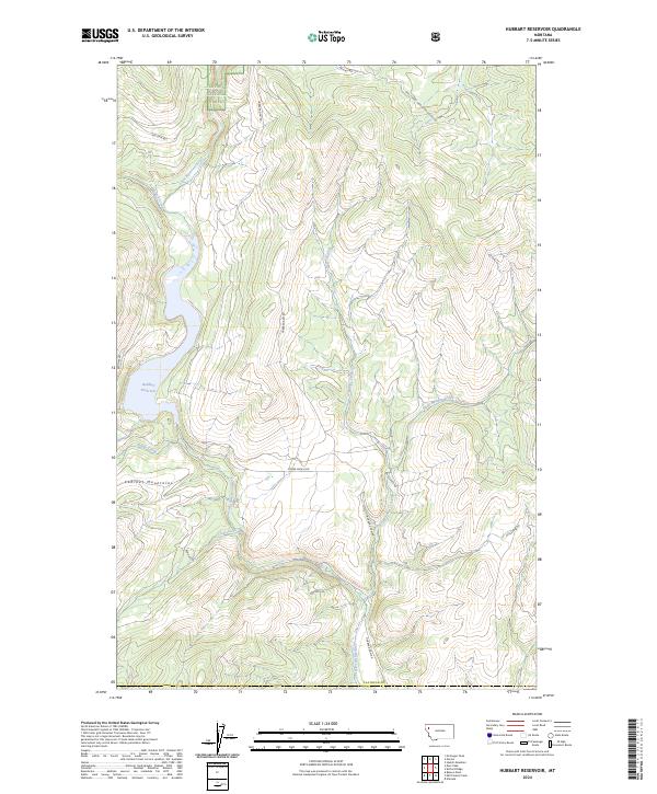
1964 Hubbart Reservoir
Flathead County, MT
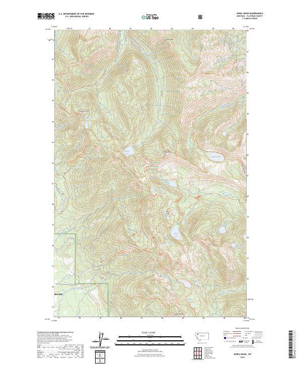
1964 Jewel Basin
Flathead County, MT
1964 Kofford Ridge
Flathead County, MT
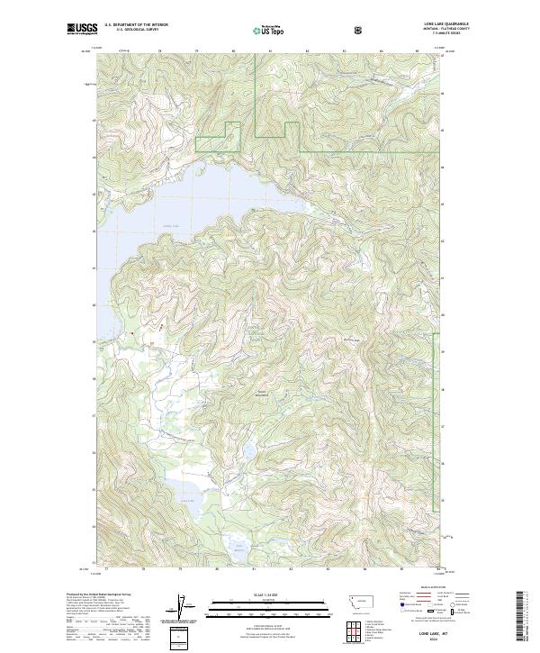
1964 Lone Lake
Flathead County, MT
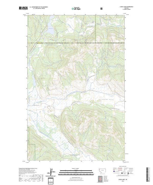
1964 Lynch Lake
Flathead County, MT
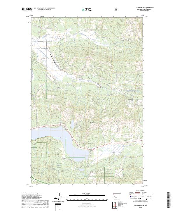
1964 Mc Gregor Peak
Flathead County, MT
1964 Meadow Peak
Flathead County, MT
1964 Mount Grant
Flathead County, MT
1964 Mount Saint Nicholas
Flathead County, MT
1964 Murr Peak
Flathead County, MT
1964 Nyack
Flathead County, MT
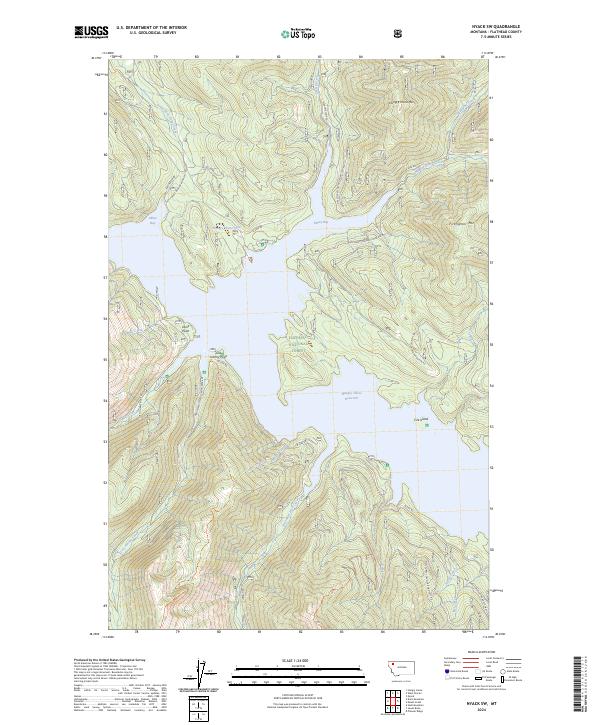
1964 Nyack SW
Flathead County, MT
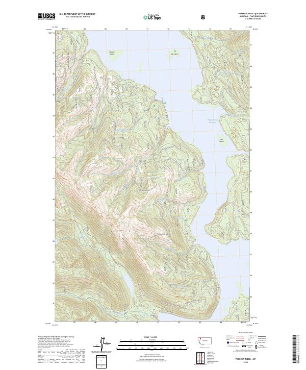
1964 Pioneer Ridge
Flathead County, MT
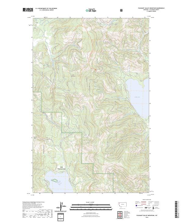
1964 Pleasant Valley Mountain
Flathead County, MT
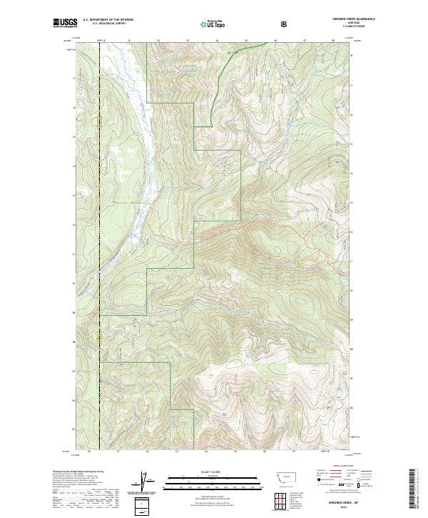
1964 Shroder Creek
Flathead County, MT
1964 Stanton Lake
Flathead County, MT
1965 Connor Creek
Flathead County, MT
1965 String Creek
Flathead County, MT
1965 Sunburst Lake
Flathead County, MT
1965 Tin Creek
Flathead County, MT
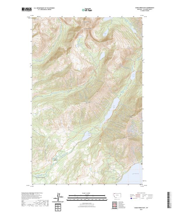
1966 Camas Ridge West
Flathead County, MT
1966 Cyclone Lake
Flathead County, MT
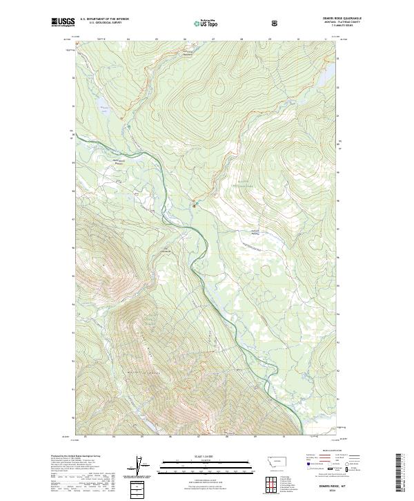
1966 Demers Ridge
Flathead County, MT
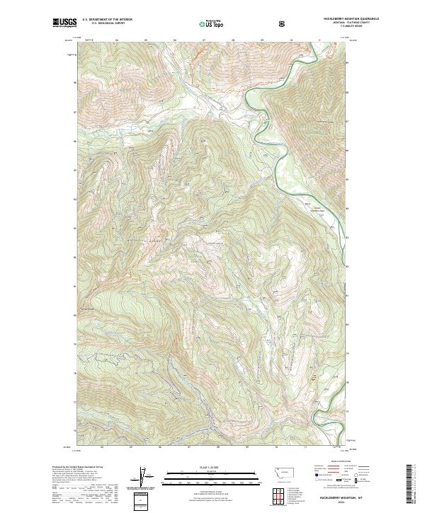
1966 Huckleberry Mountain
Flathead County, MT
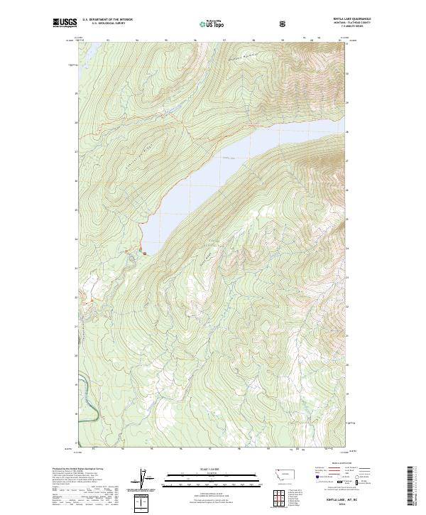
1966 Kintla Lake
Flathead County, MT
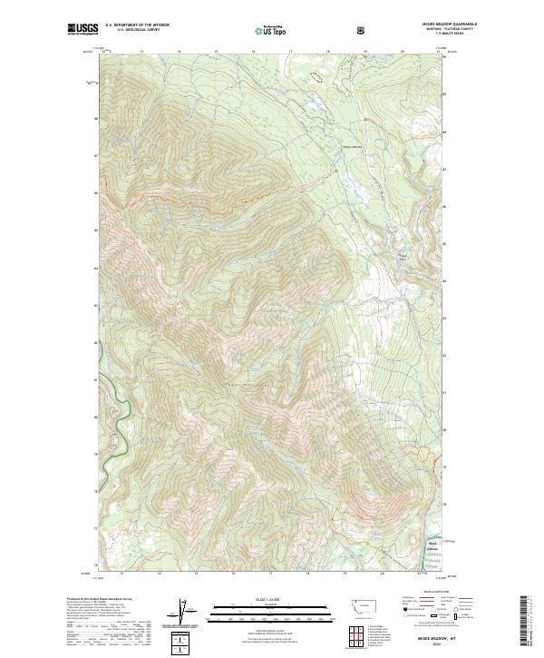
1966 Mc Gee Meadow
Flathead County, MT
1966 Moose Peak
Flathead County, MT
1966 Mount Hefty
Flathead County, MT
1966 Radnor
Flathead County, MT
1966 Red Meadow Lake
Flathead County, MT
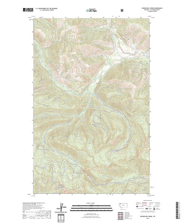
1966 Skookoleel Creek
Flathead County, MT
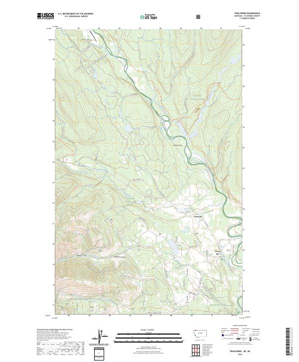
1966 Trailcreek
Flathead County, MT
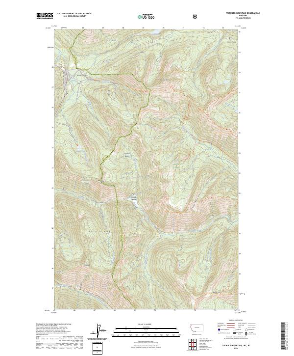
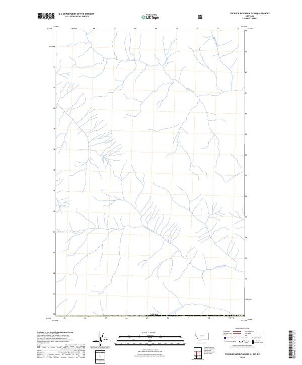
1966 Tuchuck Mountain
Flathead County, MT
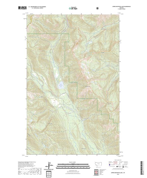
1966 Upper Whitefish Lake
Flathead County, MT
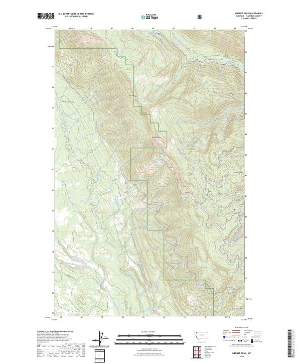
1966 Werner Peak
Flathead County, MT
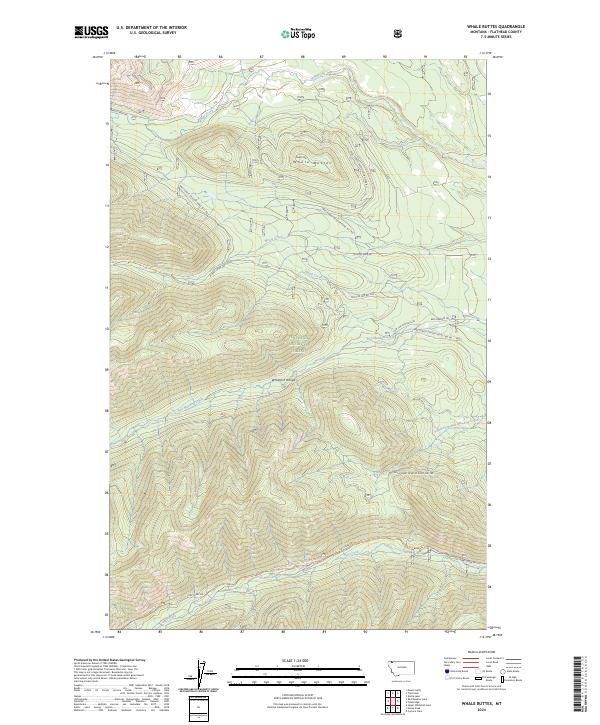
1966 Whale Buttes
Flathead County, MT
1968 Ahern Pass
Flathead County, MT
1968 Blacktail
Flathead County, MT
1968 Camas Ridge East
Flathead County, MT
1968 Gooseberry Park
Flathead County, MT
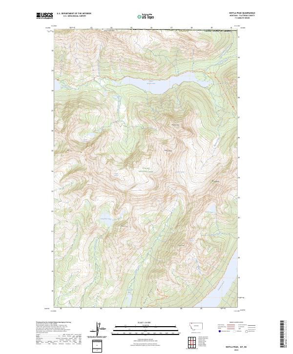
1968 Kintla Peak
Flathead County, MT
1968 Lake Mc Donald East
Flathead County, MT
1968 Lake Mc Donald West
Flathead County, MT
1968 Mount Cannon
Flathead County, MT
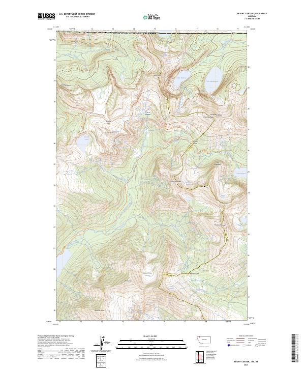
1968 Mount Carter
Flathead County, MT
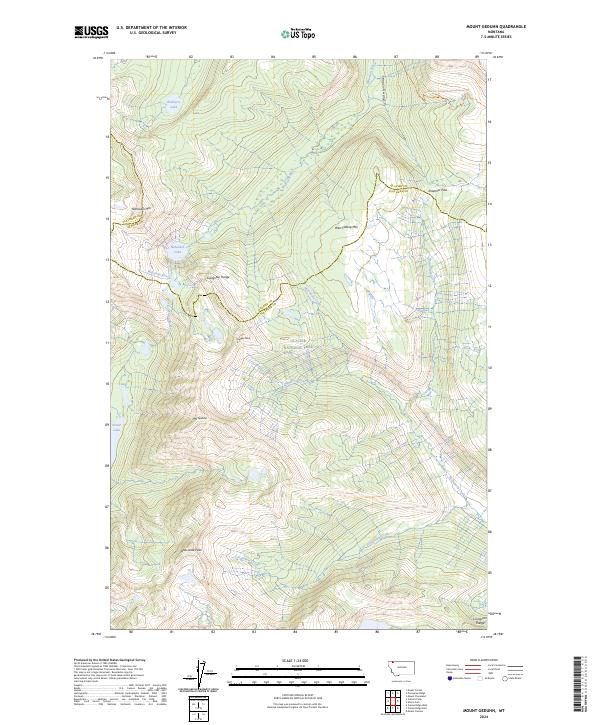
1968 Mount Geduhn
Flathead County, MT
1968 Mount Jackson
Flathead County, MT
1968 Mount Stimson
Flathead County, MT
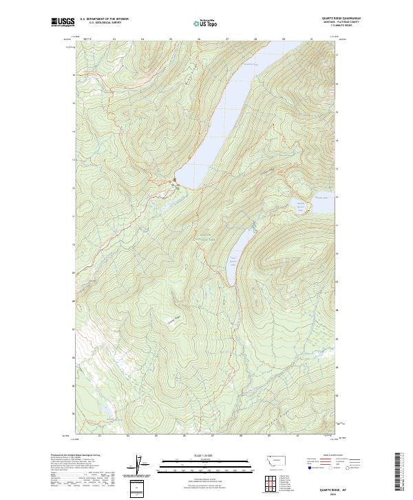
1968 Quartz Ridge
Flathead County, MT
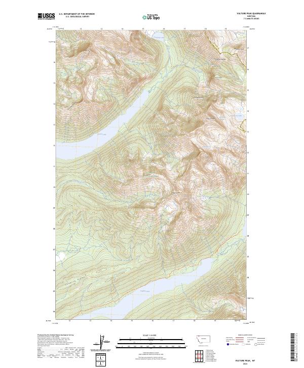
1968 Vulture Peak
Flathead County, MT
1970 Amphitheatre Mountain
Flathead County, MT
1970 Bungalow Mountain
Flathead County, MT
1970 Cathedral Peak
Flathead County, MT
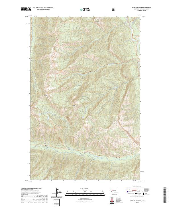
1970 Marmot Mountain
Flathead County, MT
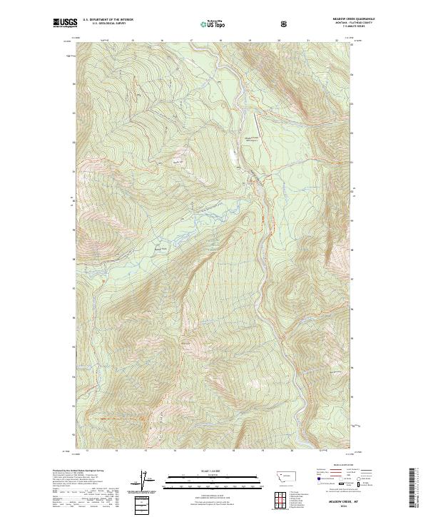
1970 Meadow Creek
Flathead County, MT
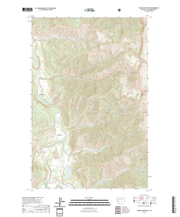
1970 Pagoda Mountain
Flathead County, MT
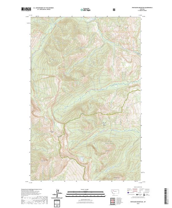
1970 Pentagon Mountain
Flathead County, MT
1970 Spotted Bear Mountain
Flathead County, MT
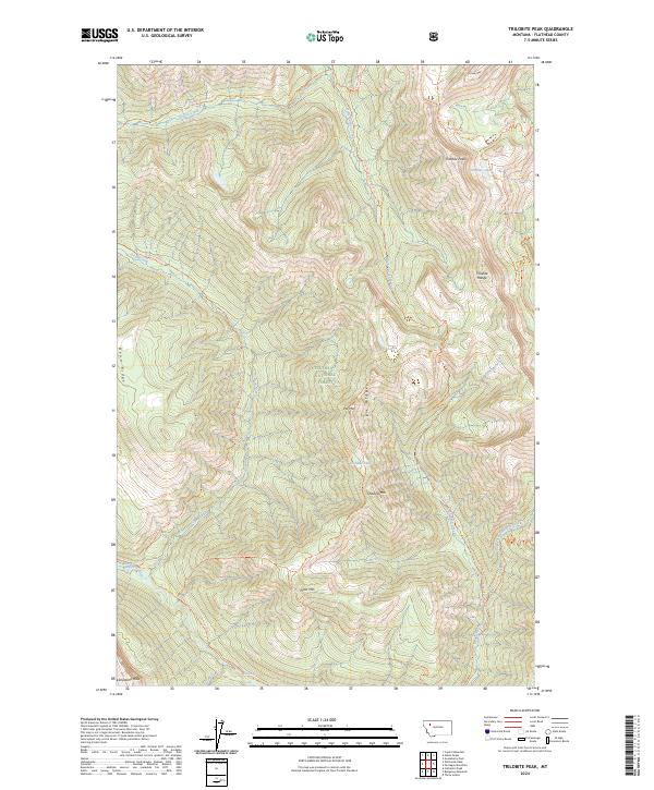
1970 Trilobite Peak
Flathead County, MT
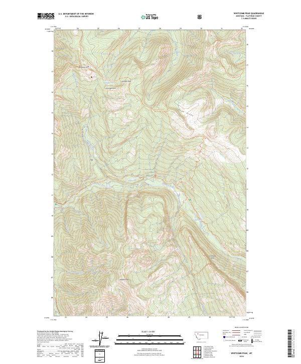
1970 Whitcomb Peak
Flathead County, MT

1981 Hungry Horse Reservoir
Flathead County, MT

1981 Whitefish Range
Flathead County, MT
1982 Rose Crossing
Flathead County, MT
1987 Kofford Ridge
Flathead County, MT
1988 Swan Peak
Flathead County, MT
1989 Hubbart Reservoir
Flathead County, MT
1989 Murr Peak
Flathead County, MT

1990 Lost Creek Divide
Flathead County, MT
1991 Blue Grass Ridge
Flathead County, MT
1991 Creston
Flathead County, MT
1991 Doris Mountain
Flathead County, MT
1991 Hash Mountain
Flathead County, MT
1991 Lone Lake
Flathead County, MT
1991 Lynch Lake
Flathead County, MT
1994 Amphitheatre Mountain
Flathead County, MT
1994 Ashley Mountain
Flathead County, MT
1994 Beaver Lake
Flathead County, MT
1994 Big Hawk Mountain
Flathead County, MT
1994 Blacktail
Flathead County, MT
1994 Blue Grass Ridge
Flathead County, MT
1994 Bungalow Mountain
Flathead County, MT
1994 Capitol Mountain
Flathead County, MT
1994 Cathedral Peak
Flathead County, MT
1994 Circus Peak
Flathead County, MT
1994 Columbia Falls North
Flathead County, MT
1994 Columbia Falls South
Flathead County, MT
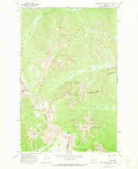
1994 Connor Creek
Flathead County, MT
1994 Crater Lake
Flathead County, MT
1994 Creston
Flathead County, MT
1994 Cyclone Lake
Flathead County, MT
1994 Demers Ridge
Flathead County, MT
1994 Doris Mountain
Flathead County, MT
1994 Dunsire Point
Flathead County, MT
1994 Felix Peak
Flathead County, MT
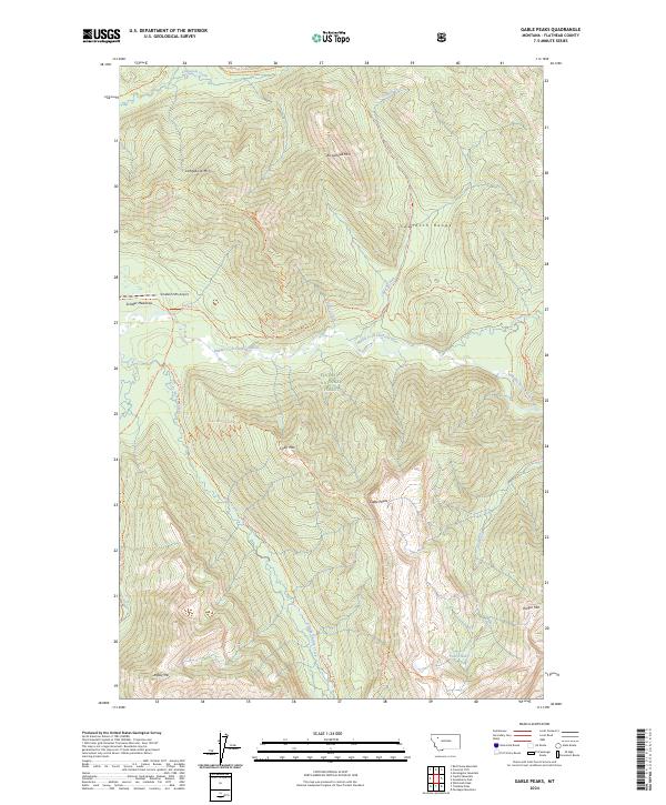
1994 Gable Peaks
Flathead County, MT
1994 Gooseberry Park
Flathead County, MT
1994 Hash Mountain
Flathead County, MT
1994 Haskill Mountain
Flathead County, MT
1994 Horseshoe Peak
Flathead County, MT
1994 Hubbart Reservoir
Flathead County, MT
1994 Huckleberry Mountain
Flathead County, MT
1994 Jewel Basin
Flathead County, MT
1994 Johnson Peak
Flathead County, MT
1994 Kintla Lake
Flathead County, MT
1994 Kofford Ridge
Flathead County, MT
1994 Lake Mc Donald East
Flathead County, MT
1994 Lake Mc Donald West
Flathead County, MT
1994 Lion Mountain
Flathead County, MT
1994 Lone Lake
Flathead County, MT
1994 Marmot Mountain
Flathead County, MT
1994 Mc Gee Meadow
Flathead County, MT
1994 Meadow Creek
Flathead County, MT
1994 Moose Peak
Flathead County, MT
1994 Mount Bradley
Flathead County, MT
1994 Mount Grant
Flathead County, MT
1994 Mount Hefty
Flathead County, MT
1994 Nimrod
Flathead County, MT
1994 Nyack
Flathead County, MT
1994 Nyack SW
Flathead County, MT
1994 Pagoda Mountain
Flathead County, MT
1994 Pentagon Mountain
Flathead County, MT
1994 Pioneer Ridge
Flathead County, MT
1994 Pleasant Valley Mountain
Flathead County, MT
1994 Quintonkon
Flathead County, MT
1994 Radnor
Flathead County, MT
1994 Red Meadow Lake
Flathead County, MT
1994 Red Plume Mountain
Flathead County, MT
1994 Rose Crossing
Flathead County, MT
1994 Skookoleel Creek
Flathead County, MT
1994 Spotted Bear Mountain
Flathead County, MT
1994 Stanton Lake
Flathead County, MT
1994 String Creek
Flathead County, MT
1994 Sunburst Lake
Flathead County, MT
1994 Sylvia Lake
Flathead County, MT
1994 Tally Lake
Flathead County, MT
1994 Tin Creek
Flathead County, MT
1994 Trailcreek
Flathead County, MT

1994 Tuchuck Mountain
Flathead County, MT
1994 Upper Whitefish Lake
Flathead County, MT
1994 Werner Peak
Flathead County, MT
1994 Whale Buttes
Flathead County, MT
1994 Whitcomb Peak
Flathead County, MT
1997 Dahl Lake
Flathead County, MT
1997 Lynch Lake
Flathead County, MT
1997 Mc Gregor Peak
Flathead County, MT
1997 Meadow Peak
Flathead County, MT
1997 Sunday Mountain
Flathead County, MT
1999 Murr Peak
Flathead County, MT
1999 Shroder Creek
Flathead County, MT
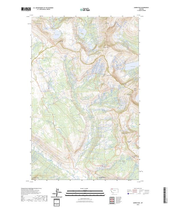
2024 Ahern Pass
Flathead County, MT
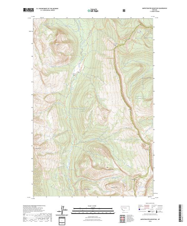
2024 Amphitheatre Mountain
Flathead County, MT
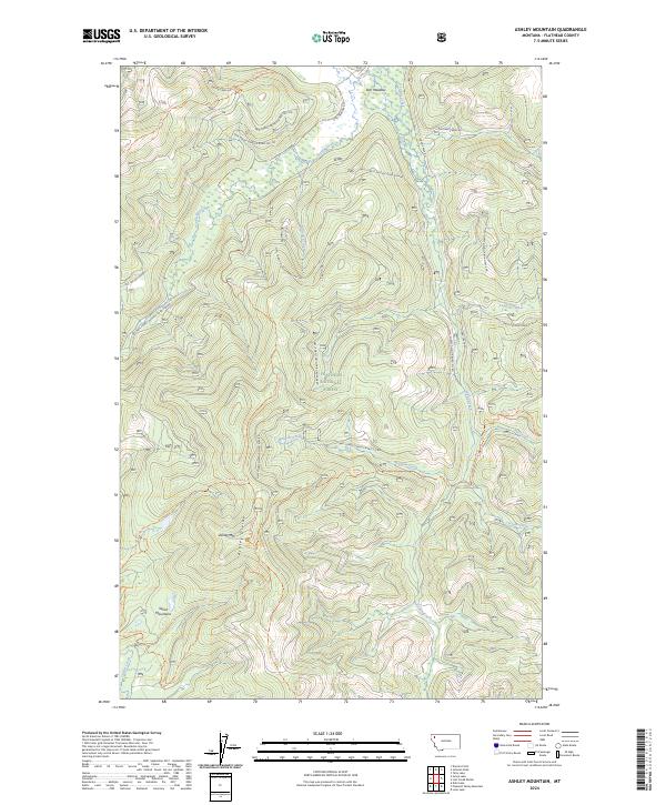
2024 Ashley Mountain
Flathead County, MT
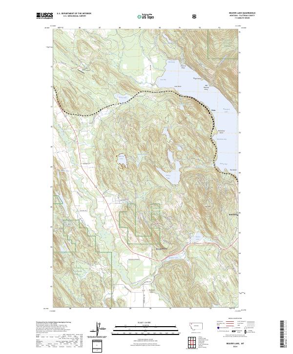
2024 Beaver Lake
Flathead County, MT
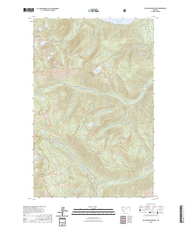
2024 Big Hawk Mountain
Flathead County, MT
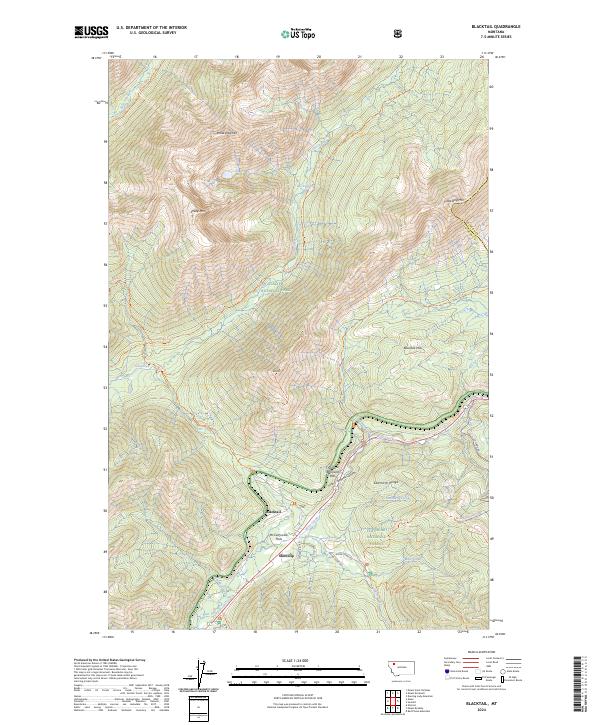
2024 Blacktail
Flathead County, MT
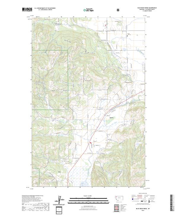
2024 Blue Grass Ridge
Flathead County, MT
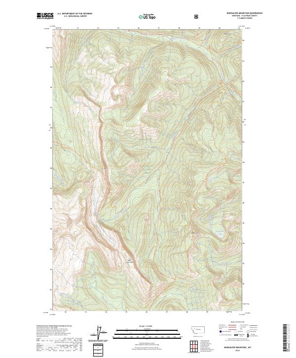
2024 Bungalow Mountain
Flathead County, MT
2024 Camas Ridge East
Flathead County, MT
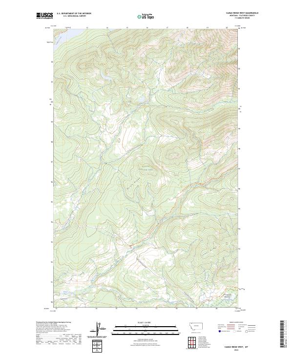
2024 Camas Ridge West
Flathead County, MT
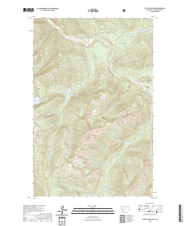
2024 Capitol Mountain
Flathead County, MT
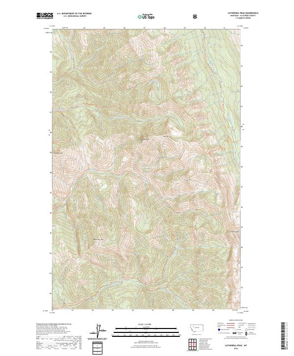
2024 Cathedral Peak
Flathead County, MT
2024 Circus Peak
Flathead County, MT
2024 Columbia Falls North
Flathead County, MT
2024 Columbia Falls South
Flathead County, MT
2024 Connor Creek
Flathead County, MT
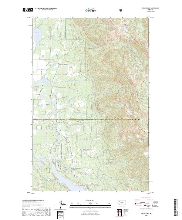
2024 Crater Lake
Flathead County, MT
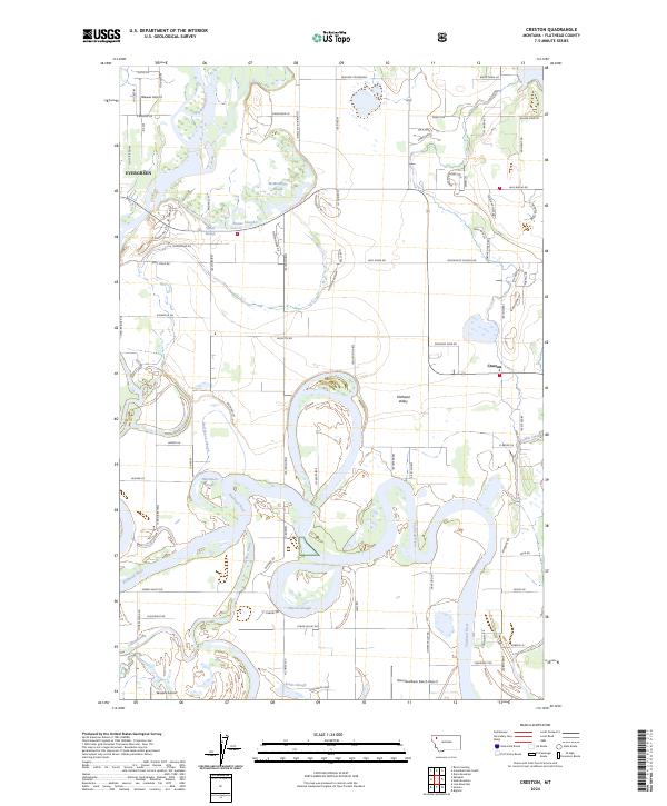
2024 Creston
Flathead County, MT
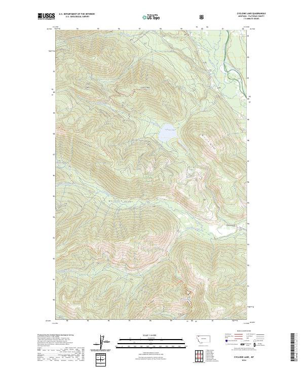
2024 Cyclone Lake
Flathead County, MT
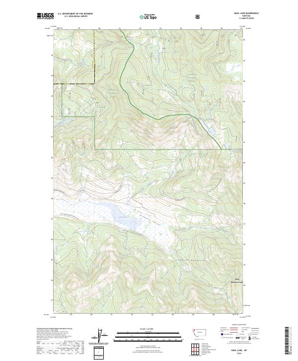
2024 Dahl Lake
Flathead County, MT
2024 Demers Ridge
Flathead County, MT
2024 Doris Mountain
Flathead County, MT
2024 Dunsire Point
Flathead County, MT
2024 Felix Peak
Flathead County, MT
2024 Gable Peaks
Flathead County, MT
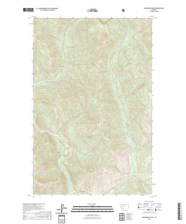
2024 Gooseberry Park
Flathead County, MT
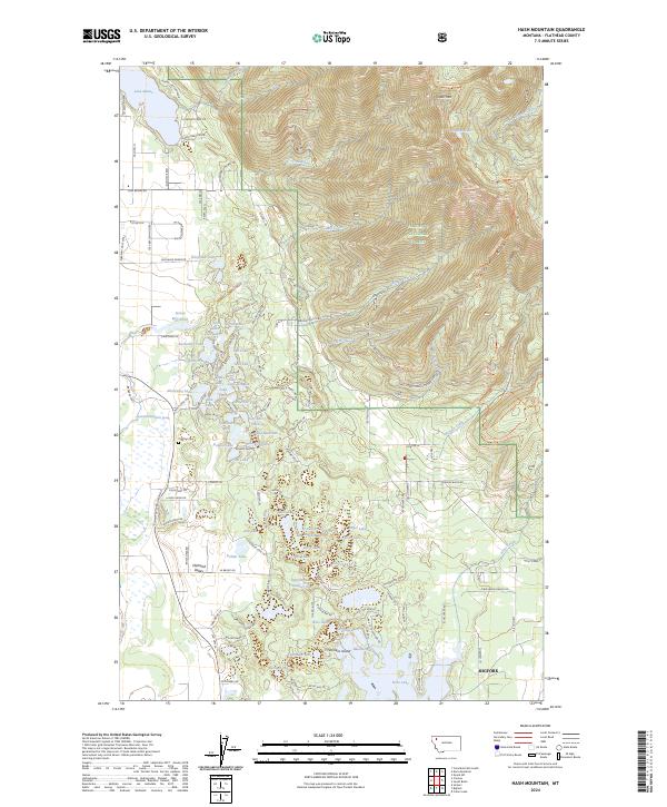
2024 Hash Mountain
Flathead County, MT
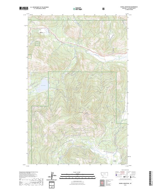
2024 Haskill Mountain
Flathead County, MT
2024 Horseshoe Peak
Flathead County, MT
2024 Hubbart Reservoir
Flathead County, MT
2024 Huckleberry Mountain
Flathead County, MT
2024 Jewel Basin
Flathead County, MT
2024 Johnson Peak
Flathead County, MT
2024 Kintla Lake
Flathead County, MT
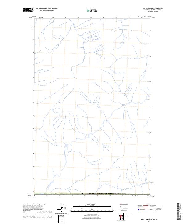
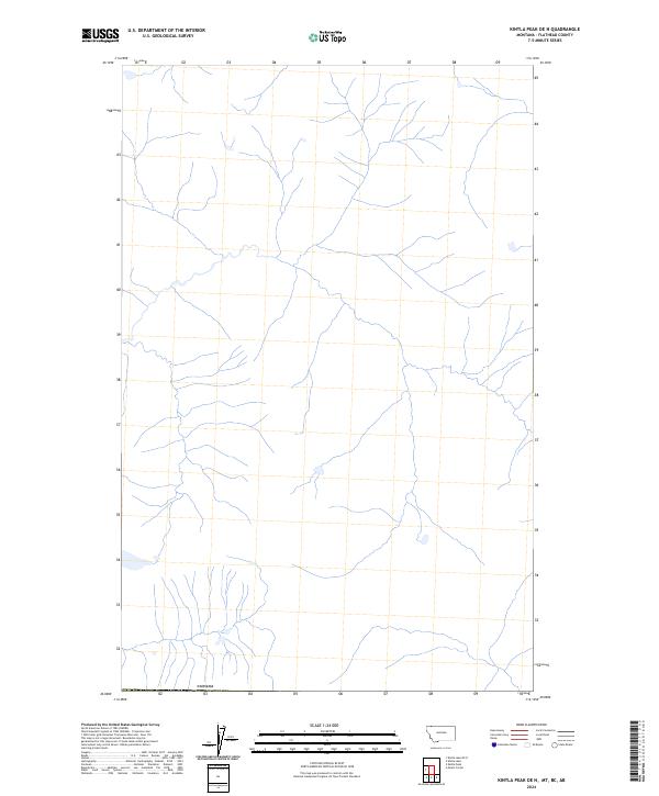
2024 Kintla Lake OE N
Flathead County, MT
2024 Kintla Peak
Flathead County, MT
2024 Kintla Peak OE N
Flathead County, MT
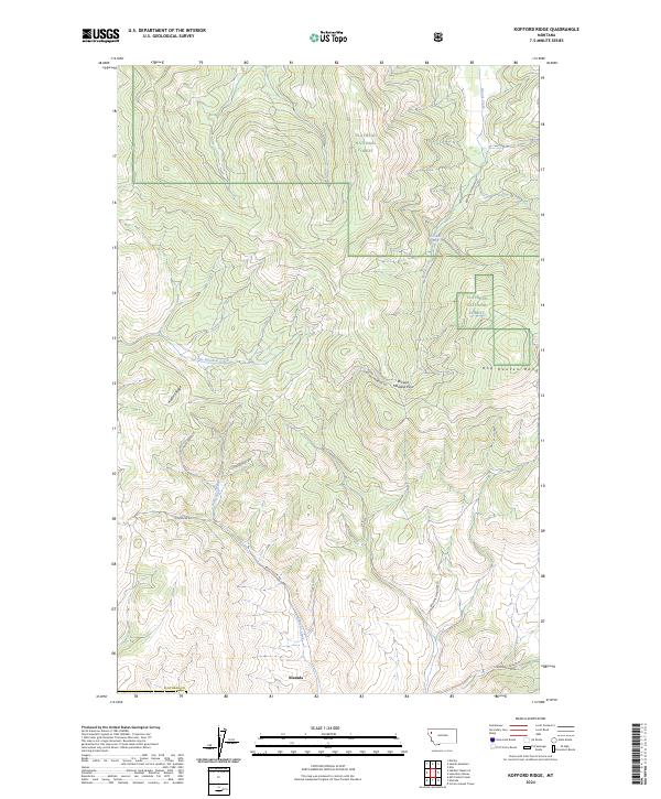
2024 Kofford Ridge
Flathead County, MT
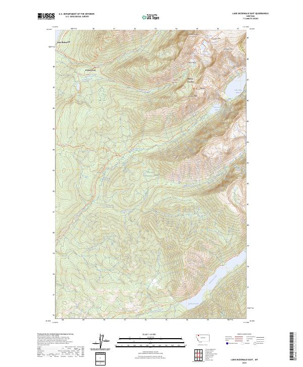
2024 Lake McDonald East
Flathead County, MT
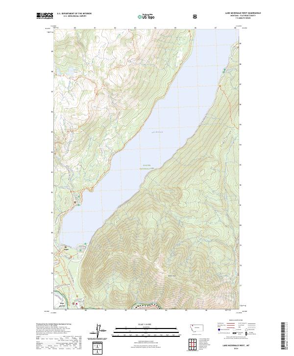
2024 Lake McDonald West
Flathead County, MT
2024 Lion Mountain
Flathead County, MT
2024 Lone Lake
Flathead County, MT
2024 Lost Creek Divide
Flathead County, MT
2024 Lynch Lake
Flathead County, MT
2024 Marmot Mountain
Flathead County, MT
2024 McGee Meadow
Flathead County, MT
2024 McGregor Peak
Flathead County, MT
2024 Meadow Creek
Flathead County, MT
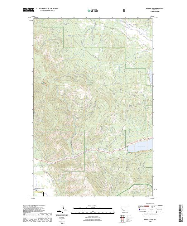
2024 Meadow Peak
Flathead County, MT
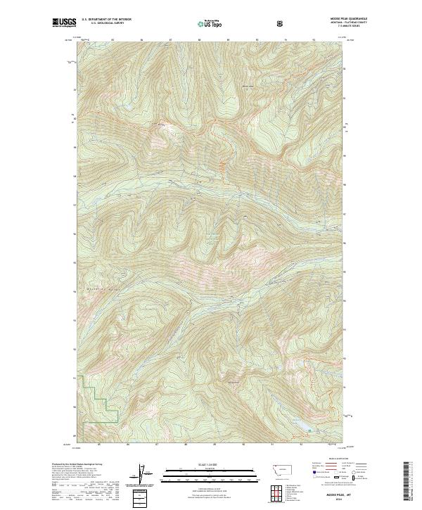
2024 Moose Peak
Flathead County, MT
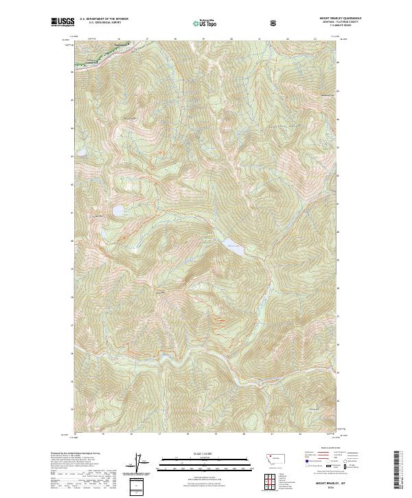
2024 Mount Bradley
Flathead County, MT
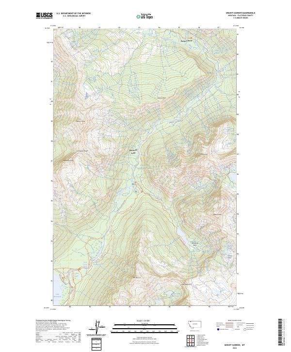
2024 Mount Cannon
Flathead County, MT
2024 Mount Carter
Flathead County, MT
2024 Mount Geduhn
Flathead County, MT
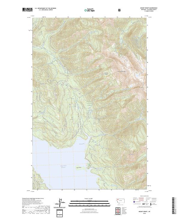
2024 Mount Grant
Flathead County, MT
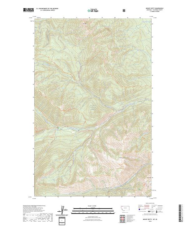
2024 Mount Hefty
Flathead County, MT
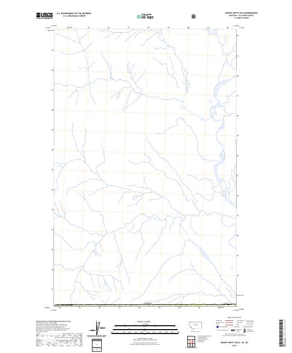
2024 Mount Hefty OE N
Flathead County, MT
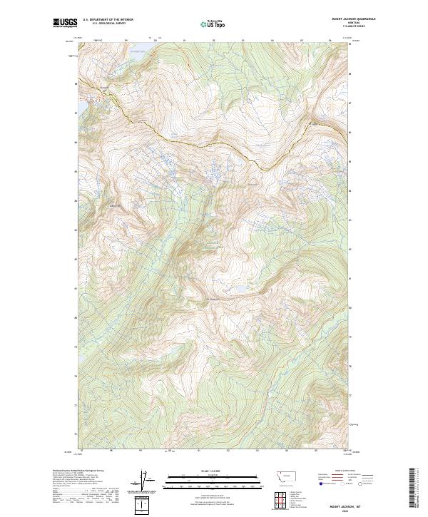
2024 Mount Jackson
Flathead County, MT
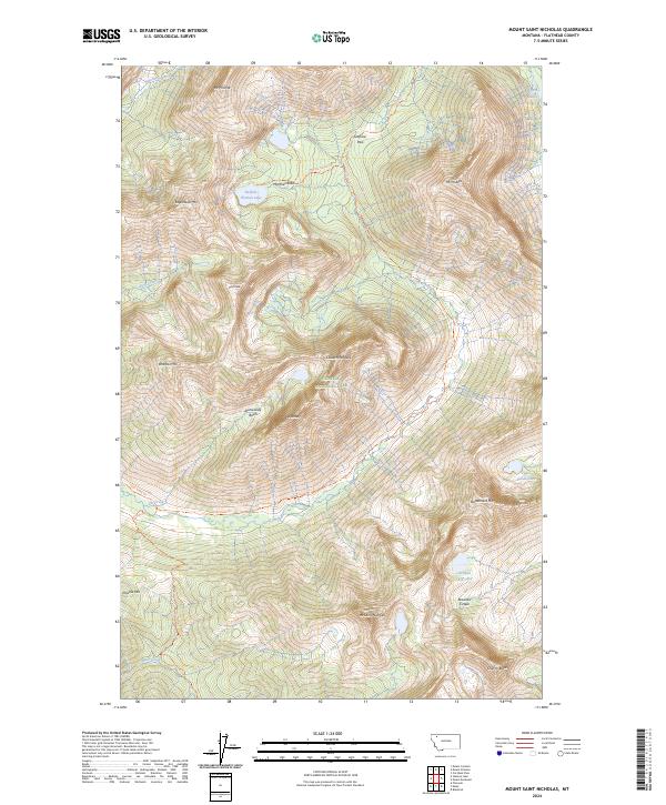
2024 Mount Saint Nicholas
Flathead County, MT
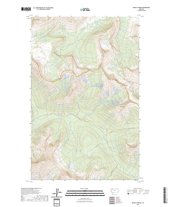
2024 Mount Stimson
Flathead County, MT
2024 Murr Peak
Flathead County, MT
2024 Nimrod
Flathead County, MT
2024 Nyack
Flathead County, MT
2024 Nyack SW
Flathead County, MT
2024 Pagoda Mountain
Flathead County, MT
2024 Pentagon Mountain
Flathead County, MT
2024 Pioneer Ridge
Flathead County, MT
2024 Pleasant Valley Mountain
Flathead County, MT
2024 Quartz Ridge
Flathead County, MT
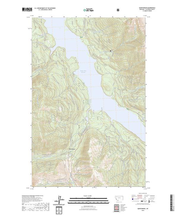
2024 Quintonkon
Flathead County, MT
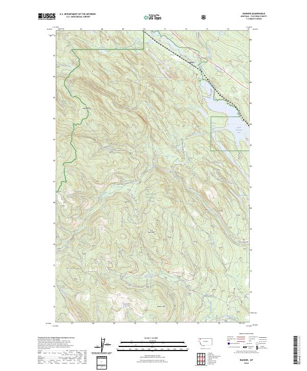
2024 Radnor
Flathead County, MT
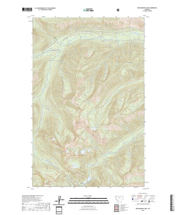
2024 Red Meadow Lake
Flathead County, MT
2024 Red Plume Mountain
Flathead County, MT
2024 Rose Crossing
Flathead County, MT
2024 Shroder Creek
Flathead County, MT
2024 Skookoleel Creek
Flathead County, MT
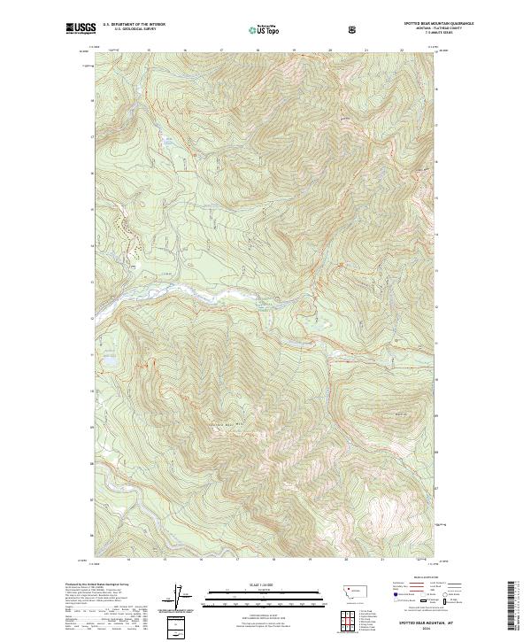
2024 Spotted Bear Mountain
Flathead County, MT
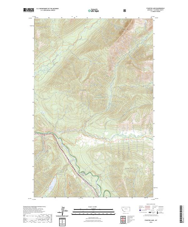
2024 Stanton Lake
Flathead County, MT
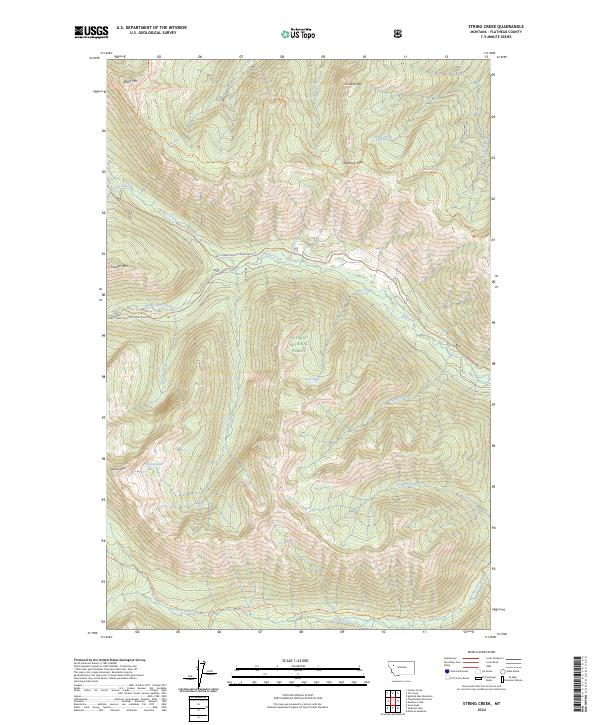
2024 String Creek
Flathead County, MT
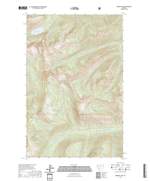
2024 Sunburst Lake
Flathead County, MT
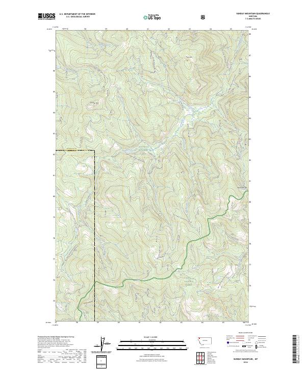
2024 Sunday Mountain
Flathead County, MT
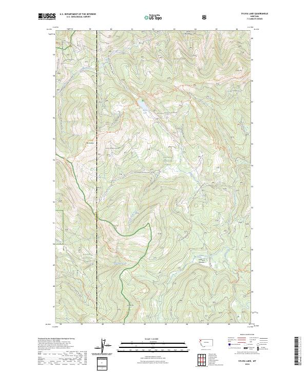
2024 Sylvia Lake
Flathead County, MT
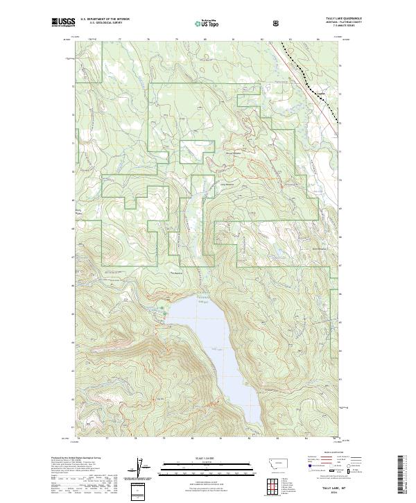
2024 Tally Lake
Flathead County, MT
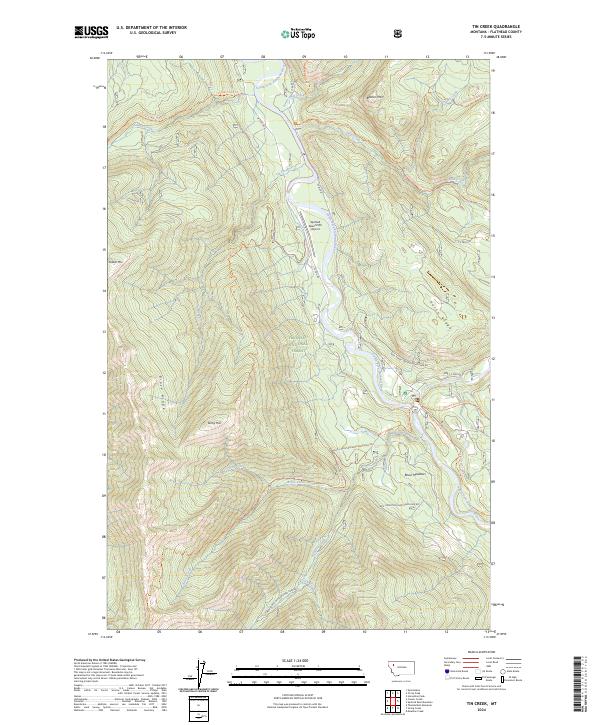
2024 Tin Creek
Flathead County, MT
2024 Trailcreek
Flathead County, MT
2024 Trailcreek OE N
Flathead County, MT
2024 Trilobite Peak
Flathead County, MT
2024 Tuchuck Mountain
Flathead County, MT
2024 Tuchuck Mountain OE N
Flathead County, MT
2024 Upper Whitefish Lake
Flathead County, MT
2024 Vulture Peak
Flathead County, MT
2024 Werner Peak
Flathead County, MT
2024 Whale Buttes
Flathead County, MT
2024 Whitcomb Peak
Flathead County, MT