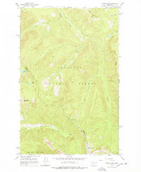
1965 Map of Connor Creek
USGS Topo · Published 1978About this map
The Flathead National Forest defines the topography of this Montana landscape as it appeared in the mid-1960s. The terrain is marked by significant peaks and lookout points, including Kah Mountain and the associated Kah Lookout, alongside Spring Slide Mountain to the southwest. The boundary between Flathead Co and Lake Co traverses this wilderness, which is accessed primarily through a network of trails such as the Alpine Trail (Pack) and the Wire Trail (Pack).
Find a feature on this map
25 named features on this map. Tap any name to fly to it.
Don’t see what you’re looking for? This feature index may not catch every label — zoom into the map to look around manually.
Map Details
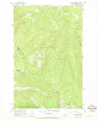
Editions of this 1965 Connor Creek Map
2 editions found
Other maps of this area

1914 · Nyack
USGS Topo · 1:125,000

1955 · Choteau
USGS Topo · 1:250,000

1957 · Choteau
USGS Topo · 1:250,000

1958 · Choteau
USGS Topo · 1:250,000

1958 · Circus Peak
USGS Topo · 1:24,000

1958 · Quintonkon
USGS Topo · 1:24,000

1960 · Cut Bank
USGS Topo · 1:250,000

1962 · Choteau
USGS Topo · 1:250,000

1963 · Cut Bank
USGS Topo · 1:250,000

1964 · Cut Bank
USGS Topo · 1:250,000