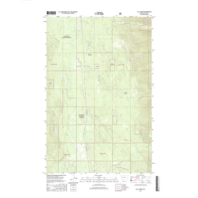
2017 Map of Cilly Creek
USGS Topo · Published 2017About this map
The Swan River flows through this portion of Flathead National Forest, defining a landscape of high-altitude drainages and timbered slopes. The map documents a sophisticated network of forest management routes, including Lower Porcupine Rd and the Natl Forest Develop Road 680 Rd, which provide access to the remote interior. Several distinct openings in the forest canopy are identified as meadowlands, such as State Meadows, Graves Meadows, and Foothill Meadows. These features suggest a history of seasonal grazing or natural clearings within the dense forest.
Find a feature on this map
30 named features on this map. Tap any name to fly to it.
Don’t see what you’re looking for? This feature index may not catch every label — zoom into the map to look around manually.
Map Details
Editions of this 2017 Cilly Creek Map
This is the sole edition of this map. No revisions or reprints were ever made.
Other maps of this area

1955 · Choteau
USGS Topo · 1:250,000

1957 · Choteau
USGS Topo · 1:250,000

1958 · Choteau
USGS Topo · 1:250,000

1962 · Choteau
USGS Topo · 1:250,000
1965 · Connor Creek
USGS Topo · 1:24,000
1965 · Swan Lake
USGS Topo · 1:24,000
1965 · Thunderbolt Mountain
USGS Topo · 1:24,000

1965 · Swan Peak
USGS Topo · 1:24,000
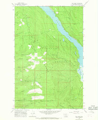
1965 · Yew Creek
USGS Topo · 1:24,000
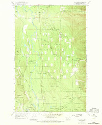
1965 · Cilly Creek
USGS Topo · 1:24,000