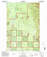
1994 Map of Cilly Creek
USGS Topo · Published 1996About this map
The Swan River corridor dominates this mid-1990s landscape, illustrating a complex patchwork of public land management between the Flathead National Forest and the Swan River State Forest. The geography is defined by a dense network of tributaries including Soup Creek, Napa Creek, and Goat Creek, which drain the surrounding slopes toward the river valley. Human infrastructure is concentrated around the Goat Creek State Forest Headquarters and a small Landing Strip, indicating the area's importance for forest management and localized transportation. Historically significant landmarks such as the Little Nappa Lookout and named clearings like Graves Meadows and Foothill Meadows provide specific points of interest for those studying the evolution of Montana's timberlands. The presence of a Gravel Pit and numerous forest service routes suggests an active industrial landscape integrated with the natural drainage basins of Metcalf Lake and Lost Creek.
Find a feature on this map
25 named features on this map. Tap any name to fly to it.
Don’t see what you’re looking for? This feature index may not catch every label — zoom into the map to look around manually.
Map Details
Editions of this 1994 Cilly Creek Map
This is the sole edition of this map. No revisions or reprints were ever made.
Other maps of this area

1955 · Choteau
USGS Topo · 1:250,000

1957 · Choteau
USGS Topo · 1:250,000

1958 · Choteau
USGS Topo · 1:250,000

1962 · Choteau
USGS Topo · 1:250,000
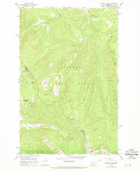
1965 · Connor Creek
USGS Topo · 1:24,000
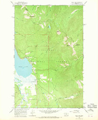
1965 · Swan Lake
USGS Topo · 1:24,000
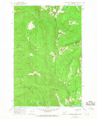
1965 · Thunderbolt Mountain
USGS Topo · 1:24,000

1965 · Swan Peak
USGS Topo · 1:24,000
1965 · Yew Creek
USGS Topo · 1:24,000
1965 · Cilly Creek
USGS Topo · 1:24,000