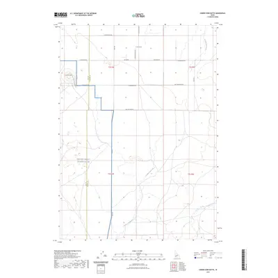
2023 Map of Cinder Cone Butte
USGS Topo · Published 2023About this map
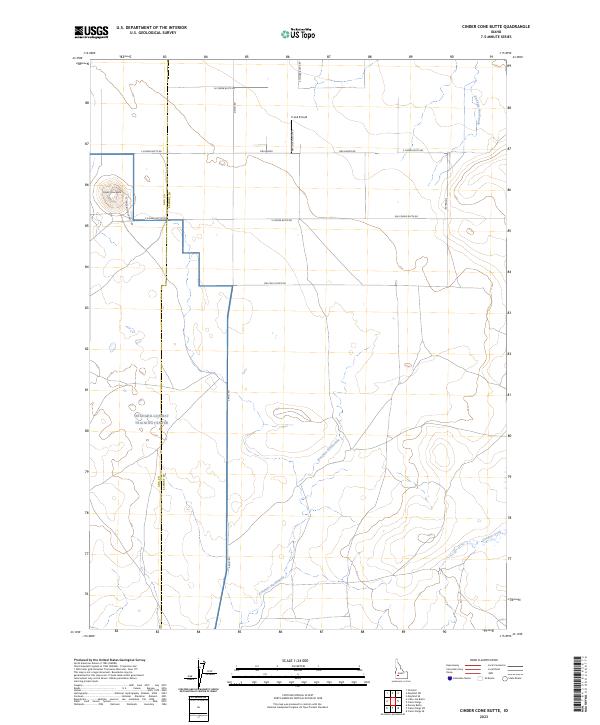
Cinder Cone Butte dominates this high desert landscape along the border of Ada and Elmore counties. This 2023 survey provides a modern look at the vast expanse of the Orchard-Combat Training Center, a military training facility that occupies a significant portion of the southwestern quadrant. The terrain is defined by its arid drainage patterns, including Kwahate Naokwaide and Canyon Creek, which carve through the plateau.
Find a feature on this map
20 named features on this map. Tap any name to fly to it.
Don’t see what you’re looking for? This feature index may not catch every label — zoom into the map to look around manually.
Map Details
Editions of this 2023 Cinder Cone Butte Map
2 editions found
Other maps of this area

1892 · Mountain Home
USGS Topo · 1:125,000

1892 · Bisuka
USGS Topo · 1:125,000

1893 · Mountain Home
USGS Topo · 1:125,000

1894 · Bisuka
USGS Topo · 1:125,000

1947 · Dorsey Butte
USGS Topo · 1:24,000

1948 · Dorsey Butte
USGS Topo · 1:24,000

1948 · Big Foot Butte
USGS Topo · 1:62,500

1948 · Little Joe Butte
USGS Topo · 1:24,000

1949 · Little Joe Butte
USGS Topo · 1:24,000

1955 · Orchard
USGS Topo · 1:24,000