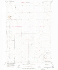
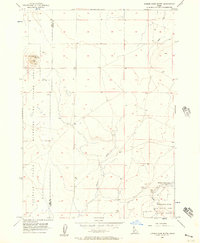
1956 Map of Cinder Cone Butte
USGS Topo · Published 1957About this map
Cinder Cone Butte dominates the northern reaches of this mid-1950s landscape, providing a stark topographical anchor for an area heavily utilized for military training. The map documents a rugged high-desert environment where industrial and defense activities overlap, notably at the Cinder Pit near the butte and across the expansive National Guard Maneuver and Firing Area. Water management is critical in this arid terrain, as evidenced by the infrastructure at Fraser Reservoir and the associated Fraser Dam 3112 feeding into the local drainage system.
Find a feature on this map
13 named features on this map. Tap any name to fly to it.
Don’t see what you’re looking for? This feature index may not catch every label — zoom into the map to look around manually.
Map Details
Editions of this 1956 Cinder Cone Butte Map
2 editions found
Other maps of this area

1892 · Mountain Home
USGS Topo · 1:125,000

1892 · Bisuka
USGS Topo · 1:125,000

1893 · Mountain Home
USGS Topo · 1:125,000

1894 · Bisuka
USGS Topo · 1:125,000

1947 · Dorsey Butte
USGS Topo · 1:24,000

1948 · Dorsey Butte
USGS Topo · 1:24,000

1948 · Big Foot Butte
USGS Topo · 1:62,500

1948 · Little Joe Butte
USGS Topo · 1:24,000

1949 · Little Joe Butte
USGS Topo · 1:24,000

1955 · Orchard
USGS Topo · 1:24,000