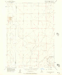
1956 Map of Cinder Cone Butte
USGS Topo · Published 1957About this map
The high desert landscape along the Ada Co Elmore Co line is defined by its volcanic geology and strategic military utility in the mid-1950s. At the heart of the terrain stands Cinder Cone Butte, an isolated landmark that features a Cinder Pit near its summit, indicating the era's local extraction of volcanic materials. The vast, open expanses were heavily utilized for defense training, with large swaths designated as the National Guard Maneuver and Firing Area and the Mountain Home Air Force Base Gunnery Range. Water management in this arid environment is centered on the Fraser Reservoir, held by the Fraser Dam, where drainage from Squaw Creek and Canyon Creek converges. This survey captures a specific moment when the Idaho desert was being partitioned for both resource use and national defense.
Find a feature on this map
11 named features on this map. Tap any name to fly to it.
Don’t see what you’re looking for? This feature index may not catch every label — zoom into the map to look around manually.
Map Details
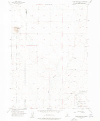
Editions of this 1956 Cinder Cone Butte Map
2 editions found
Other maps of this area

1892 · Mountain Home
USGS Topo · 1:125,000

1892 · Bisuka
USGS Topo · 1:125,000

1893 · Mountain Home
USGS Topo · 1:125,000

1894 · Bisuka
USGS Topo · 1:125,000

1947 · Dorsey Butte
USGS Topo · 1:24,000

1948 · Dorsey Butte
USGS Topo · 1:24,000

1948 · Big Foot Butte
USGS Topo · 1:62,500

1948 · Little Joe Butte
USGS Topo · 1:24,000

1949 · Little Joe Butte
USGS Topo · 1:24,000

1955 · Orchard
USGS Topo · 1:24,000