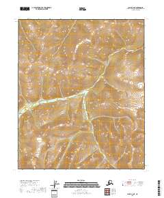
2018 Map of Circle A-2 NE
USGS Topo · Published 2018About this map
Big Windy Cr provides the primary drainage through this high-altitude landscape in the interior of Alaska. The terrain is defined by steep ridges and deep valleys, organized by the t5n r15e and t5n r16e township and range lines. The lack of named settlements, roads, or man-made structures on this 2018 survey emphasizes the isolation of the Yukon-Koyukuk region, where the natural hydrography remains the dominant feature for navigation and orientation. Researchers studying the watershed of the Yukon River or the remote backcountry of eastern Alaska can trace the precise contours and elevations that dictate the flow of the local creek systems.
Find a feature on this map
5 named features on this map. Tap any name to fly to it.
Don’t see what you’re looking for? This feature index may not catch every label — zoom into the map to look around manually.
Map Details
Editions of this 2018 Circle A-2 NE Map
This is the sole edition of this map. No revisions or reprints were ever made.
Other maps of this area

1951 · Circle
USGS Topo · 1:250,000

1955 · Circle A-2
USGS Topo · 1:63,360

1955 · Circle A-1
USGS Topo · 1:63,360

1955 · Circle B-1
USGS Topo · 1:63,360

1955 · Circle B-2
USGS Topo · 1:63,360

1955 · Circle
USGS Topo · 1:250,000

1964 · Circle
USGS Topo · 1:250,000
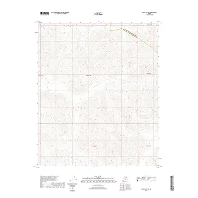
2018 · Circle A-2 SW
USGS Topo · 1:25,000
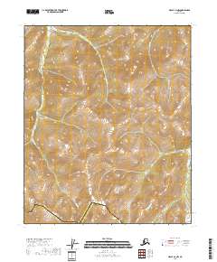
2018 · Circle A-2 NW
USGS Topo · 1:25,000
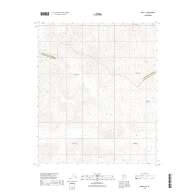
2018 · Circle A-2 SE
USGS Topo · 1:25,000