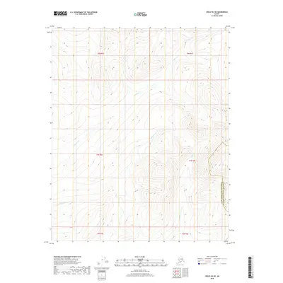
2018 Map of Circle B-6 NE
USGS Topo · Published 2018About this map
Champion Creek and Little Champion Creek flow through this interior Alaskan landscape, which is marked by the high-elevation drainage divide within the Fairbanks North Star Borough and Yukon-Koyukuk Census Area. The survey captures a wilderness area defined by its hydrology, where Nome Creek and Moose Creek navigate the complex topography of the Steese National Conservation Area region. This map illustrates the intersection of several townships, including t8n r5e, t8n r6e, and t7n r6e, providing precise topographic detail of the ridgelines and valley floors that have historically influenced access for mining and exploration in this part of the interior.
Find a feature on this map
11 named features on this map. Tap any name to fly to it.
Don’t see what you’re looking for? This feature index may not catch every label — zoom into the map to look around manually.
Map Details
Editions of this 2018 Circle B-6 NE Map
This is the sole edition of this map. No revisions or reprints were ever made.
Other maps of this area

1951 · Circle
USGS Topo · 1:250,000

1951 · Circle C-6
USGS Topo · 1:63,360

1952 · Circle C-5
USGS Topo · 1:63,360

1954 · Circle C-5
USGS Topo · 1:63,360

1954 · Circle B-6
USGS Topo · 1:63,360
1954 · Circle C-6
USGS Topo · 1:63,360

1954 · Circle B-5
USGS Topo · 1:63,360

1955 · Circle
USGS Topo · 1:250,000

1964 · Circle
USGS Topo · 1:250,000
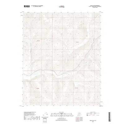
2018 · Circle B-5 SW
USGS Topo · 1:25,000