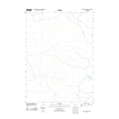
2012 Map of Circle Bar Lake
USGS Topo · Published 2012About this map
Circle Bar Lake sits at the heart of this high-desert landscape in Sweetwater County, where a complex network of seasonal watercourses defines the drainage patterns of the Wyoming plains. The map illustrates a region primarily shaped by its hydrology, with significant features like Harris Slough and Picket Cr winding through the terrain. Human presence is concentrated along the 3 Forks-Atlantic City Rd, a critical transit link connecting remote points in the western interior. The convergence of numerous creeks, including Sand Cr and Red Cr in the southern reaches, suggests a landscape that fluctuates significantly with the seasons, supporting the ranching and resource-based activities common to this part of the state.
Find a feature on this map
8 named features on this map. Tap any name to fly to it.
Don’t see what you’re looking for? This feature index may not catch every label — zoom into the map to look around manually.
Map Details
Editions of this 2012 Circle Bar Lake Map
This is the sole edition of this map. No revisions or reprints were ever made.
Other maps of this area

1953 · Lewiston Lakes
USGS Topo · 1:24,000

1953 · Radium Springs
USGS Topo · 1:24,000

1953 · Atlantic City
USGS Topo · 1:24,000

1955 · Lander
USGS Topo · 1:250,000

1958 · Lander
USGS Topo · 1:250,000

1958 · Circle Bar Lake
USGS Topo · 1:24,000

1958 · The Pinnacles
USGS Topo · 1:62,500

1958 · Continental Peak
USGS Topo · 1:24,000

1960 · Five Fingers Butte
USGS Topo · 1:62,500

1961 · Lander
USGS Topo · 1:250,000