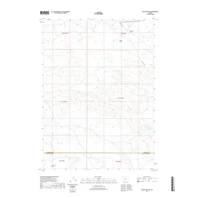
2017 Map of Circle Bar Lake
USGS Topo · Published 2017About this map
Continental Divide National Scenic Trail-Wyoming Portion winds across this high-desert landscape, crossing through the Antelope Hills in the northern reach of the survey. The terrain is defined by a network of drainage systems and high points, including the distinct Honeycomb Buttes located south of the Fremont and Sweetwater county line. Water is a central element of the local geography, with Circle Bar Lake serving as a significant landmark alongside seasonal watercourses like Harris Slough and Buffalo Gulch. The transportation network is anchored by the Riverview Cutoff, which provides passage through the arid plains. This 2017 study captures the sparse but critical features of the Wyoming interior, where life is shaped by the elevation and the varied flow of creeks such as Picket Cr and Granite Cr.
Find a feature on this map
18 named features on this map. Tap any name to fly to it.
Don’t see what you’re looking for? This feature index may not catch every label — zoom into the map to look around manually.
Map Details
Editions of this 2017 Circle Bar Lake Map
This is the sole edition of this map. No revisions or reprints were ever made.
Other maps of this area

1953 · Lewiston Lakes
USGS Topo · 1:24,000

1953 · Radium Springs
USGS Topo · 1:24,000

1953 · Atlantic City
USGS Topo · 1:24,000

1955 · Lander
USGS Topo · 1:250,000

1958 · Lander
USGS Topo · 1:250,000

1958 · Circle Bar Lake
USGS Topo · 1:24,000

1958 · The Pinnacles
USGS Topo · 1:62,500

1958 · Continental Peak
USGS Topo · 1:24,000

1960 · Five Fingers Butte
USGS Topo · 1:62,500

1961 · Lander
USGS Topo · 1:250,000