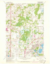
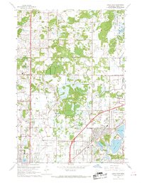
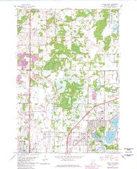
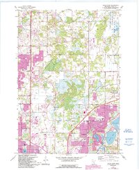
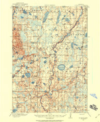
1967 Map of Circle Pines
USGS Topo · Published 1973About this map
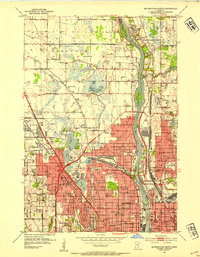
Blaine and the surrounding Anoka County landscape undergo significant transformation in this late 1960s survey, updated with purple photorevisions to show the northward push of Twin Cities suburbanization. The sheet is anchored by the Anoka County Airport (Janes Field) and the residential clusters of Circle Pines and Lexington. Extensive wetlands and water bodies, such as Rice Lake and Baldwin Lake, dominate the eastern half, while the Carlos Avery State Wildlife Management Area preserves a large swath of natural terrain in the northeast. Locally significant landmarks include Centennial Sch, St Mark Ch, and the Golden Tee Country Club. The map provides a detailed view of mid-century infrastructure, featuring local roads like Raddison Road and Lexington Avenue, along with several trailer parks and a Drive-in Theater that characterize the era's land use.
Find a feature on this map
53 named features on this map. Tap any name to fly to it.
Don’t see what you’re looking for? This feature index may not catch every label — zoom into the map to look around manually.
Map Details
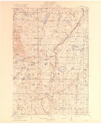
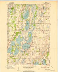
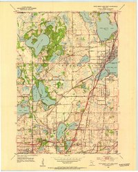
Editions of this 1967 Circle Pines Map
4 editions found
Other maps of this area

1902 · White Bear
USGS Topo · 1:62,500

1902 · Anoka
USGS Topo · 1:62,500
1916 · St. Francis
USGS Topo · 1:62,500
1919 · St. Francis
USGS Topo · 1:62,500
1952 · Centerville
USGS Topo · 1:24,000
1952 · White Bear Lake West
USGS Topo · 1:24,000
1952 · Minneapolis North
USGS Topo · 1:24,000

1952 · New Brighton
USGS Topo · 1:24,000

1953 · Stillwater
USGS Topo · 1:250,000
1955 · Circle Pines
USGS Topo · 1:24,000