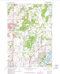
1967 Map of Circle Pines
USGS Topo · Published 1981About this map
Circle Pines and the rapidly expanding suburban landscape of Anoka County are captured here during a period of significant mid-century growth. The map illustrates a transitional environment where traditional rural landmarks, such as Coon Creek and Rice Lake, meet new residential developments like Ostman Park and Johnsville. The Blaine area shows an emerging infrastructure, characterized by the sprawling Anoka County Airport (Janes Field) and various civic institutions including Centennial Sch and St Joseph Sch.
Find a feature on this map
49 named features on this map. Tap any name to fly to it.
Don’t see what you’re looking for? This feature index may not catch every label — zoom into the map to look around manually.
Map Details
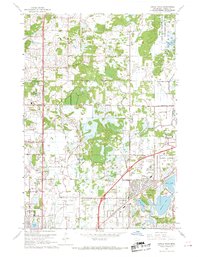
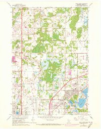
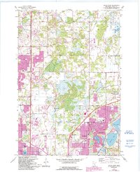
Editions of this 1967 Circle Pines Map
4 editions found
Other maps of this area

1902 · White Bear
USGS Topo · 1:62,500

1902 · Anoka
USGS Topo · 1:62,500

1916 · St. Francis
USGS Topo · 1:62,500

1919 · St. Francis
USGS Topo · 1:62,500

1952 · Centerville
USGS Topo · 1:24,000

1952 · White Bear Lake West
USGS Topo · 1:24,000

1952 · Minneapolis North
USGS Topo · 1:24,000

1952 · New Brighton
USGS Topo · 1:24,000

1953 · Stillwater
USGS Topo · 1:250,000

1955 · Circle Pines
USGS Topo · 1:24,000