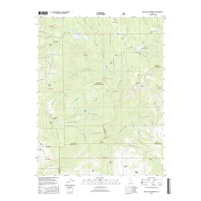
2017 Map of Circleville Mountain
USGS Topo · Published 2017About this map
Fishlake National Forest encompasses the majority of this high-altitude landscape, where the jagged peaks of the Tushar Mountains and Circleville Mountain define the horizon. The terrain is a complex network of glacial basins and volcanic plateaus, characterized by numerous high-country water bodies such as Upper Kents Lake, Anderson Meadow Reservoir, and the remote Mumford Reservoir. These alpine waters served as critical resources for the region's early ranching and water management efforts, evidenced by named landmarks like Ranger Pasture and the irrigation infrastructure near Mud Lake.
Find a feature on this map
102 named features on this map. Tap any name to fly to it.
Don’t see what you’re looking for? This feature index may not catch every label — zoom into the map to look around manually.
Map Details
Editions of this 2017 Circleville Mountain Map
This is the sole edition of this map. No revisions or reprints were ever made.
Other maps of this area

1885 · Beaver
USGS Topo · 1:250,000

1937 · Delano Peak
USGS Topo · 1:48,000

1943 · Delano Peak
USGS Topo · 1:62,500

1953 · Richfield
USGS Topo · 1:250,000

1954 · Beaver SE
USGS Topo · 1:24,000

1958 · Richfield
USGS Topo · 1:250,000

1958 · Beaver
USGS Topo · 1:62,500

1966 · Bull Rush Peak
USGS Topo · 1:24,000

1966 · Circleville
USGS Topo · 1:24,000

1966 · Fremont Pass
USGS Topo · 1:24,000