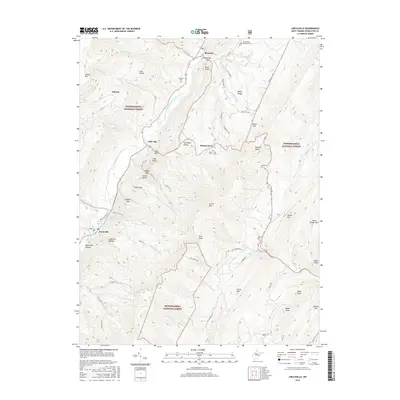
2016 Map of Circleville
USGS Topo · Published 2016About this map
Monongahela National Forest dominates the high-relief topography of this Pendleton County region, where the North Fork South Branch Potomac River carves a deep path through the Appalachians. The settlement pattern follows the river valley and its tributaries, with the communities of Riverton, Simoda, and Circleville serving as local hubs. Notable family and community landmarks are scattered across the landscape, including the North Fork Memorial Cem, Simmons Cem, and Burns Cem near Monkeytown. Dramatic geological features such as Germany Valley, Judy Rocks, and Nelson Rocks highlight the area's complex geology. Ancient travel routes and modern access are marked by Pierson's Trail and the Pike Knob Trail, which lead toward summits like Spruce Mtn and N Fork Mtn.
Find a feature on this map
76 named features on this map. Tap any name to fly to it.
Don’t see what you’re looking for? This feature index may not catch every label — zoom into the map to look around manually.
Map Details
Editions of this 2016 Circleville Map
This is the sole edition of this map. No revisions or reprints were ever made.
Other maps of this area

1889 · Beverly
USGS Topo · 1:125,000

1892 · Beverly
USGS Topo · 1:125,000

1892 · Franklin
USGS Topo · 1:125,000

1896 · Franklin
USGS Topo · 1:125,000

1920 · Onego
USGS Topo · 1:62,500

1921 · Onego
USGS Topo · 1:48,000

1922 · Onego
USGS Topo · 1:62,500

1922 · Horton
USGS Topo · 1:48,000

1922 · Spruce Knob
USGS Topo · 1:48,000

1922 · Circleville
USGS Topo · 1:62,500