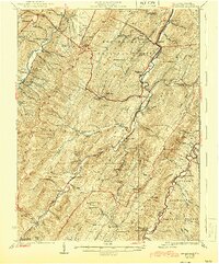
1924 Map of Circleville
USGS Topo · Published 1944About this map
The South Branch Potomac River and the South Fork Potomac River carve through the parallel ridges of Pendleton County, defining a landscape of narrow valleys and high timbered crests. This 1920s survey captures a rural highland economy centered on water-powered industry and dispersed mountain communities, evidenced by Harper Mill and Moats Mill. The density of localized education is striking, with dozens of family and neighborhood-named institutions such as Pitzenbarger School, Sinnet School, and Long Poplar School serving remote hollows. Movement through the terrain is dictated by gaps and runs, with settlements like Riverton and Sugar Grove established at key river confluences. Large tracts are already designated as part of the Monongahela National Forest and George Washington National Forest, while private holdings are marked by landmarks like Judy Rocks and Harmon Rocks.
Find a feature on this map
119 named features on this map. Tap any name to fly to it.
Don’t see what you’re looking for? This feature index may not catch every label — zoom into the map to look around manually.
Map Details
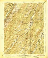
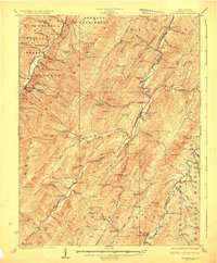
Editions of this 1924 Circleville Map
4 editions found

Other maps of this area

1889 · Beverly
USGS Topo · 1:125,000

1892 · Beverly
USGS Topo · 1:125,000

1892 · Franklin
USGS Topo · 1:125,000

1894 · Staunton
USGS Topo · 1:125,000

1896 · Franklin
USGS Topo · 1:125,000

1901 · Monterey
USGS Topo · 1:125,000

1920 · Petersburg
USGS Topo · 1:48,000

1920 · Onego
USGS Topo · 1:62,500

1921 · Petersburg
USGS Topo · 1:48,000

1921 · Onego
USGS Topo · 1:48,000